信越の国境いの稜線上にある山池
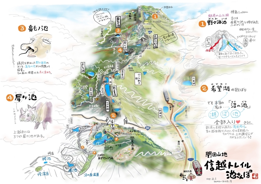
信越国境をなす関田山地の稜線上には複数の池があり、ここ牧の小池もそのひとつ。ただ、正式名ではなく登山者の間で口コミで伝わってきたもののようだ。
名前の由来は近くにある牧峠からと思われる。アクセスする登山口も牧峠となる。

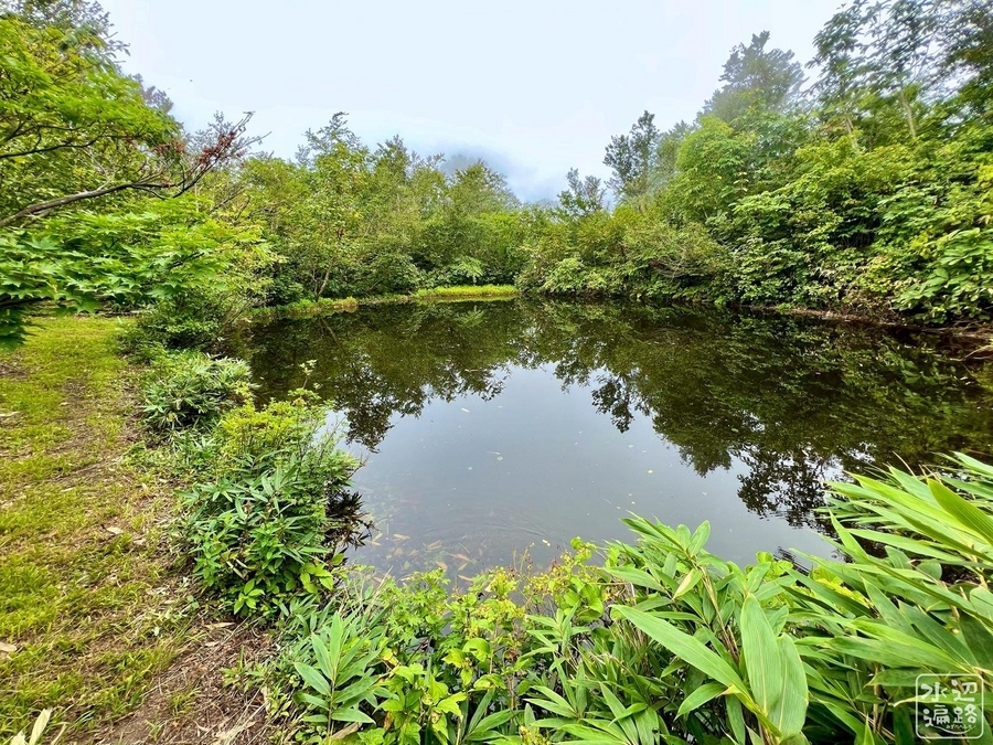
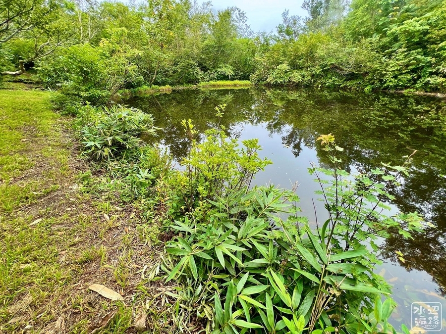
池の形態
湖面標高は1,050mほど。
オタマジャクシが生息。魚類は確認できず。


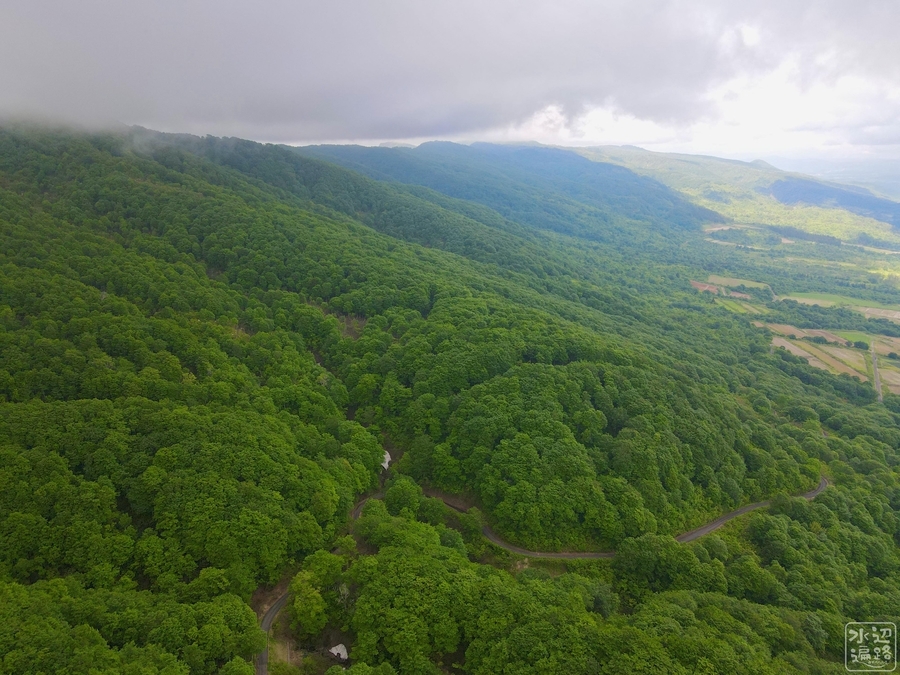
信越トレイルと関田山脈の地形
地形に関しては信越トレイル 幻の池に詳述。
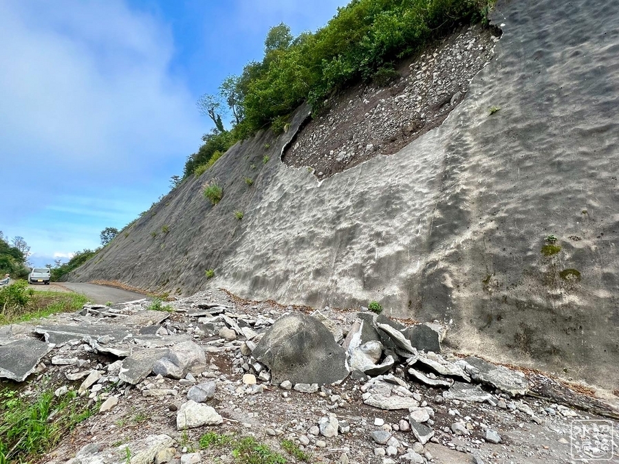
新潟県側から
屏風のような切り立った崩壊地形。
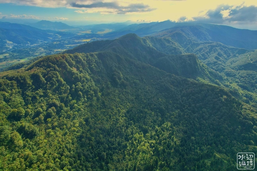
長野県側から
新潟県側からとは対照的に片流れの地形。
池へのアプローチ(牧峠)


マップ
信越トレイルの池めぐりマップ