もぐさのいけ。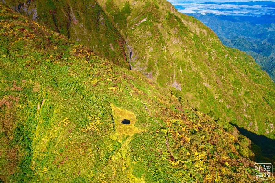
「百草の池」の概要
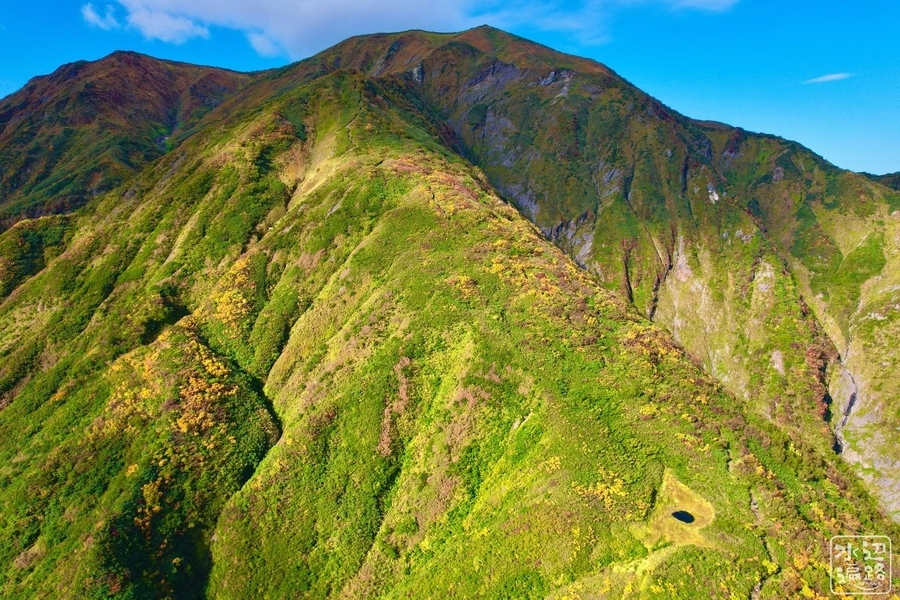
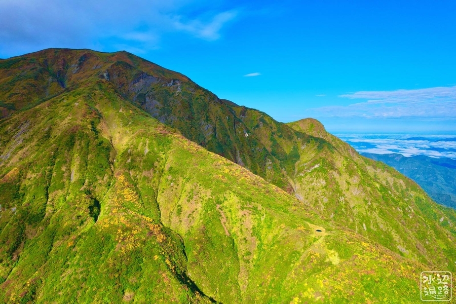
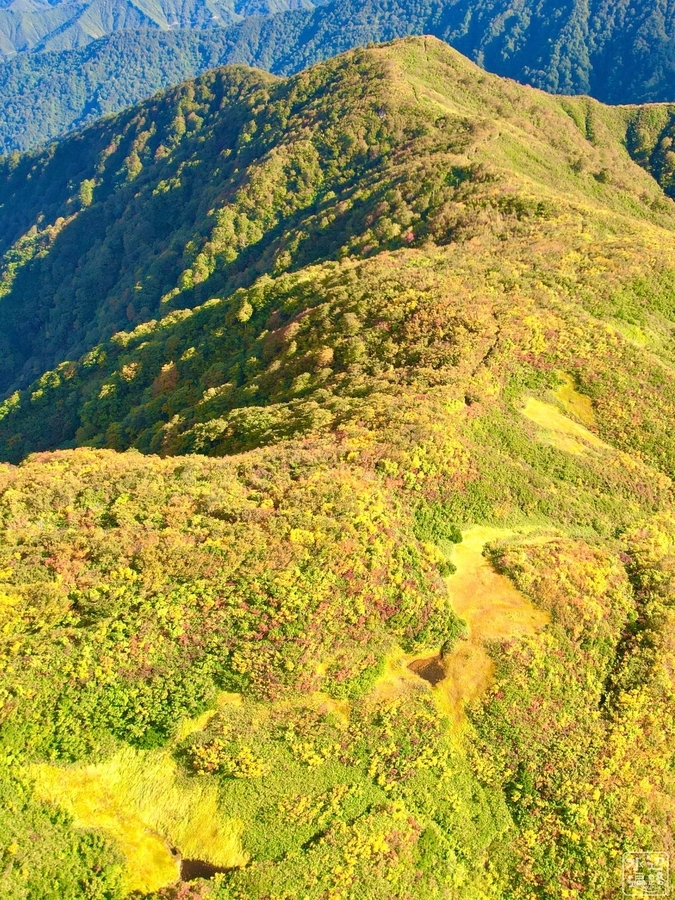
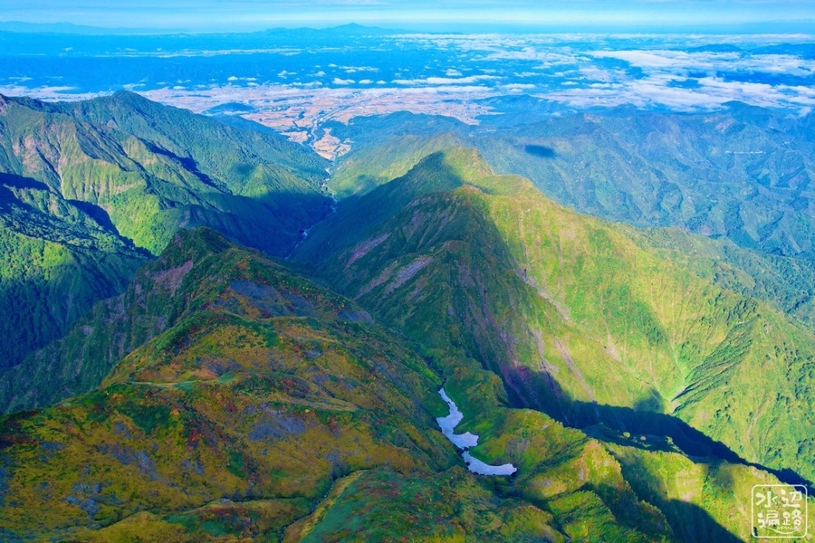
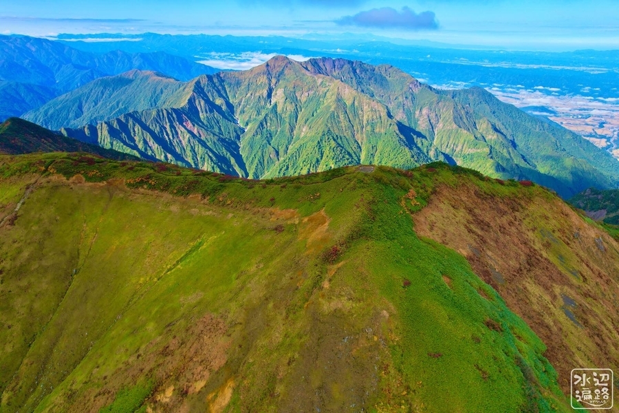
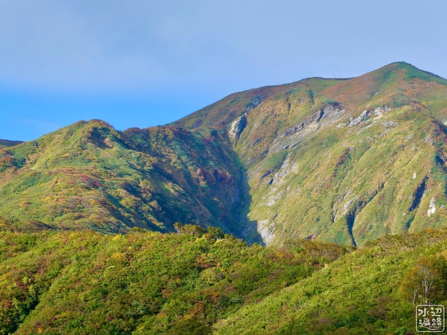
百名山・越後駒ヶ岳の標高1537mの尾根上にある山池。
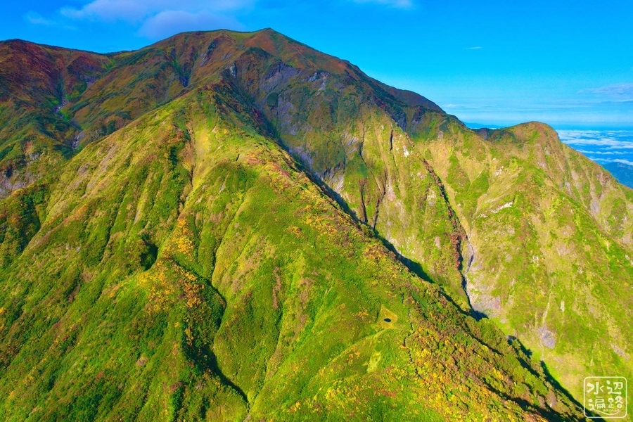
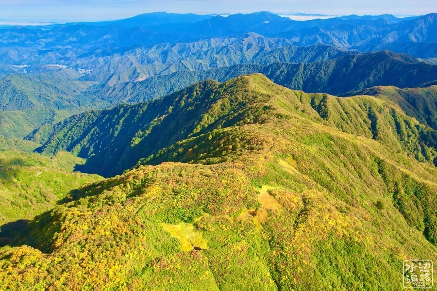
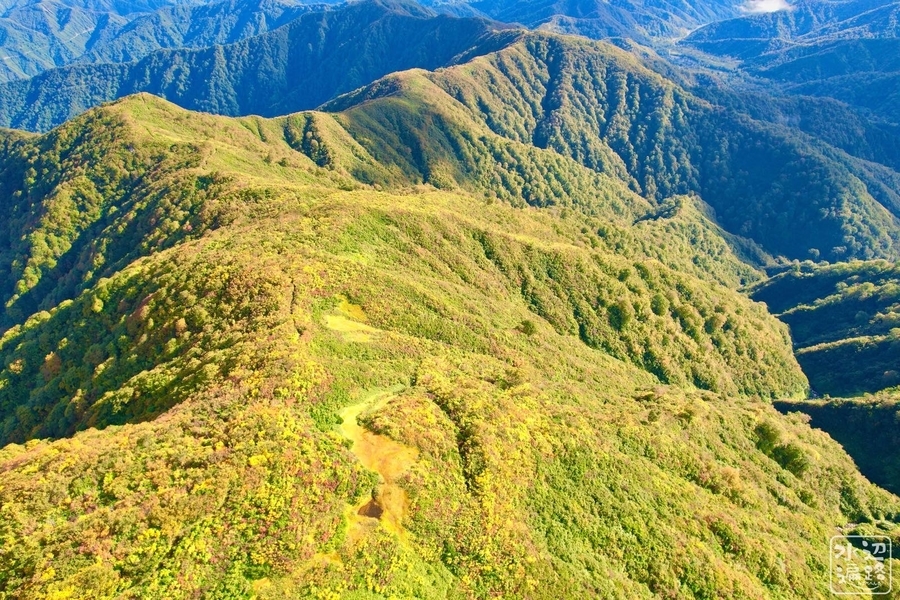
越後駒ヶ岳は「百名山」の本の中では「魚沼駒ヶ岳」という名で紹介されている越後三山の一峰。八海山、中ノ岳と合わせて壮大な山岳伽藍を形成しており、山池や池塘が点在している。八海山もコギ池など稜線に位置する池を少なからず擁し、百草の池と形態は似ている。

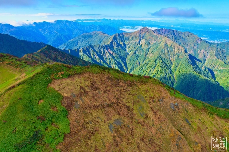
魅惑の地形
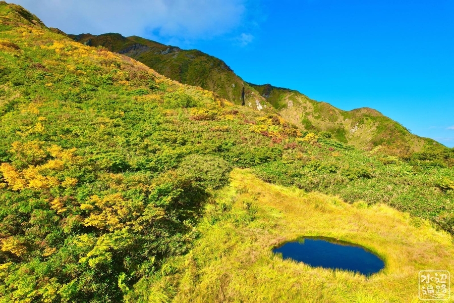
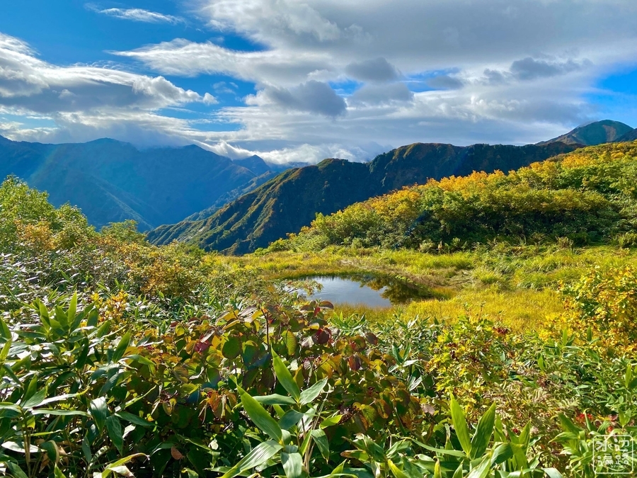
池の形態
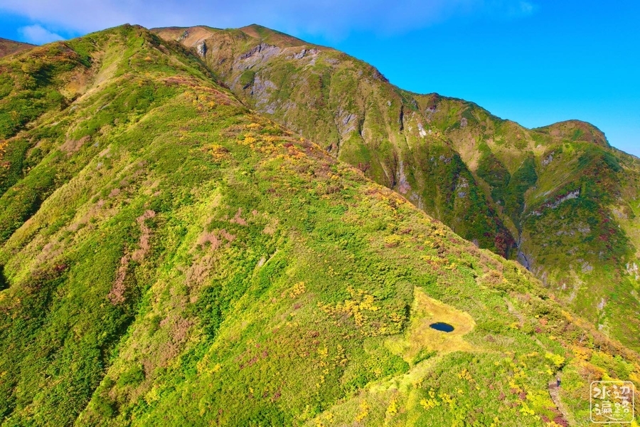
名のとおり草に囲まれている。湿原というよりは草原っぽい感じ。それにしても、なぜここにぽつんと丸い池が? 小さな火口跡なのか。見れば見るほど不思議で神々しい。
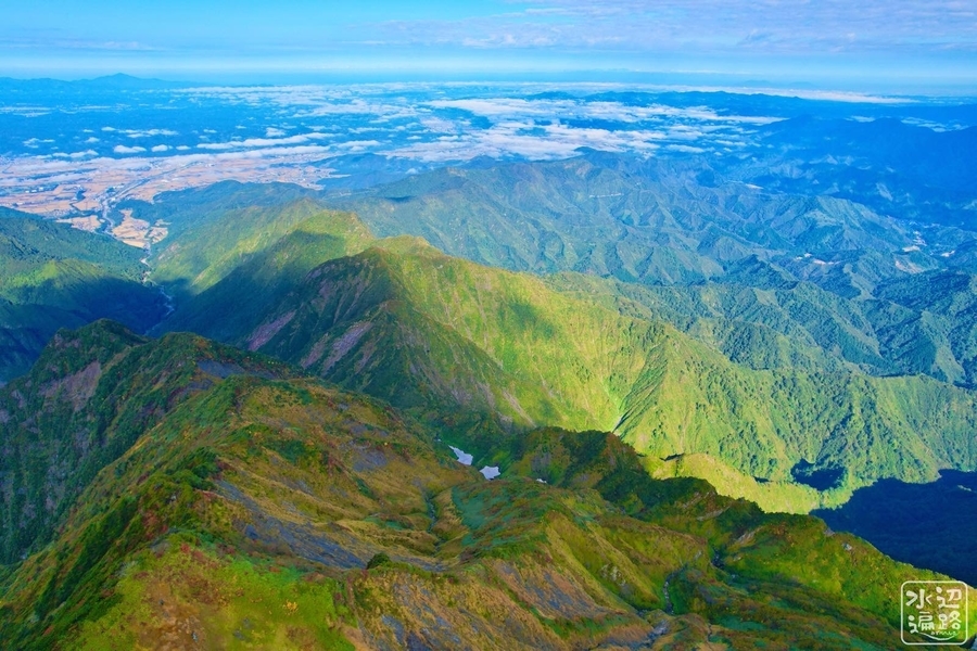
じつは他にも池が
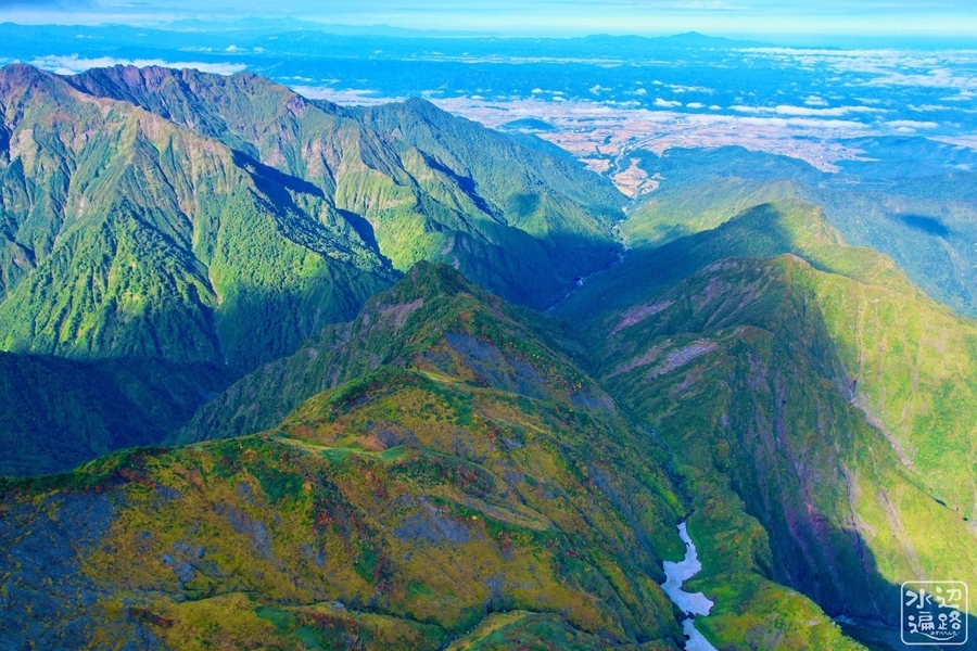
百草の池の下側の尾根にも湿原池塘が二つあった。
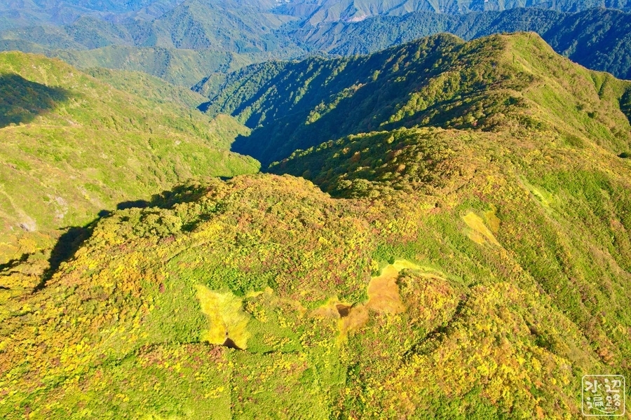
池ノ塔
越後駒ヶ岳の北西には、池ノ塔という峰と標高1100mほどの湿原がある。
 [
[
百草の池へのアクセス
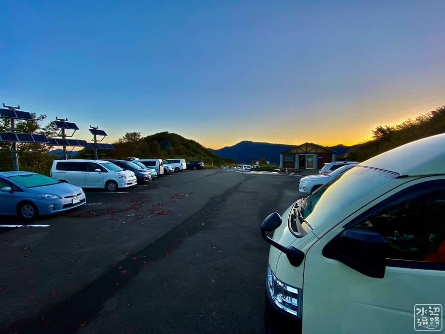
枝折峠登山口
標高1,065mの峠にある高標高の登山口。百名山・越後駒ヶ岳のメイン登山口にもなっており早朝からクルマで埋まっていく。
百草の池まで直線距離で5kmほど。滝雲も写真家に人気。
トイレあり。
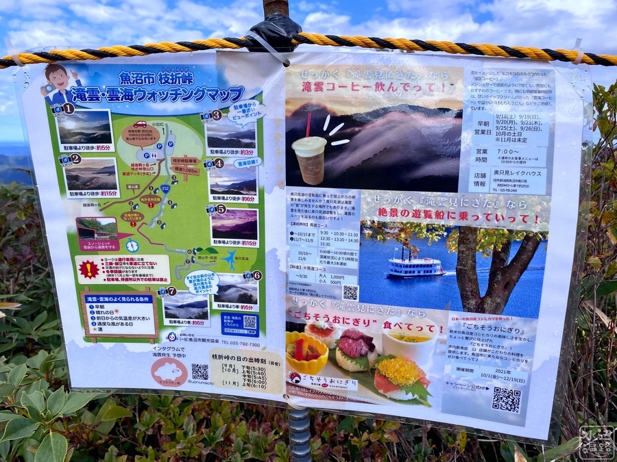
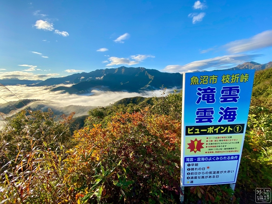
滝雲
途中には滝雲ビューポイントあり。カメラマン多し。
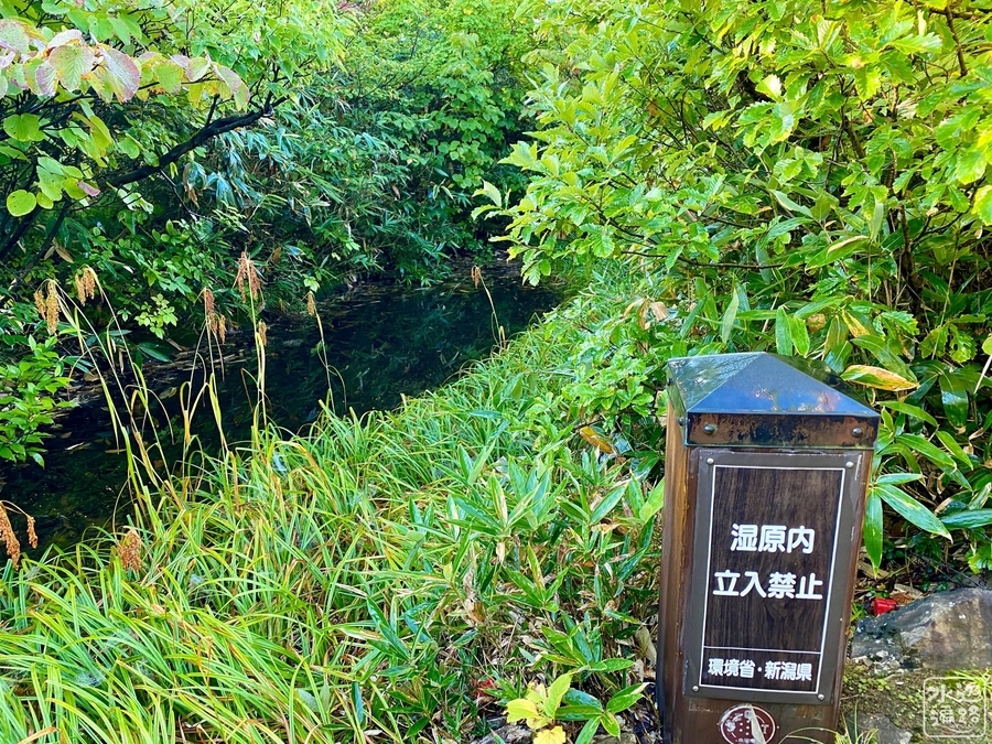
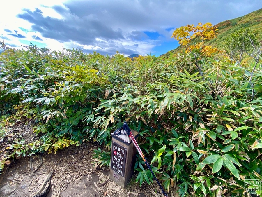
登山路わきの小さな湿原と池
環境省の「湿原内立入禁止」の標柱あり。
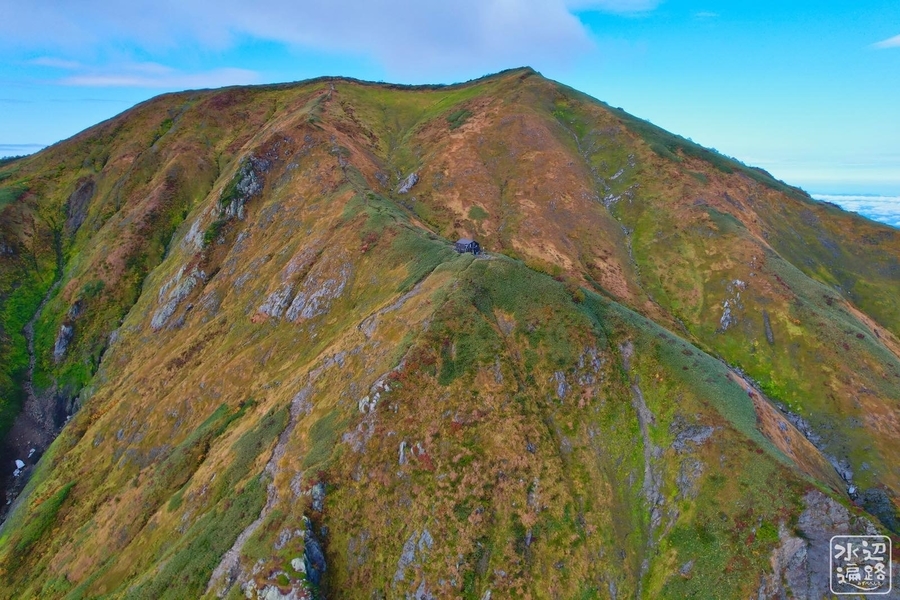
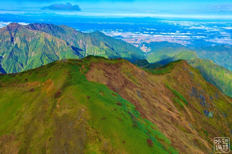
百草の池到着
特に難所もなく登山口から2時間ほど。
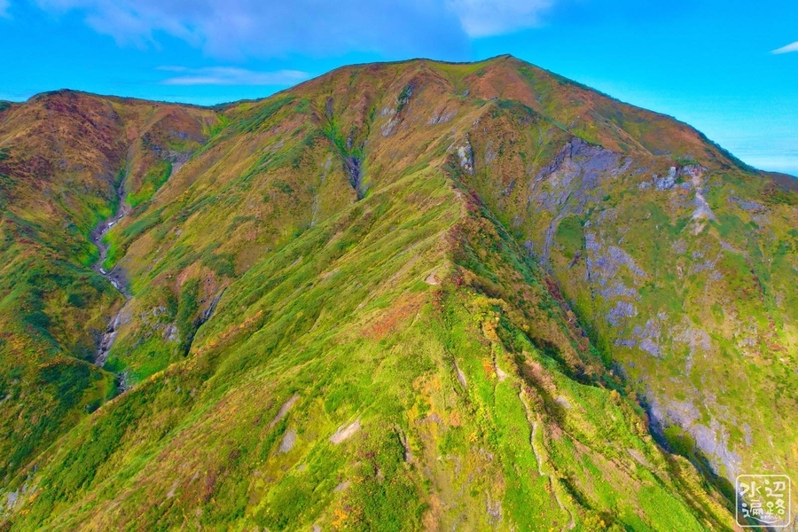
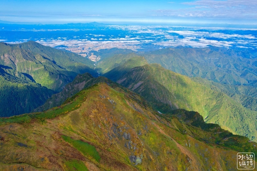
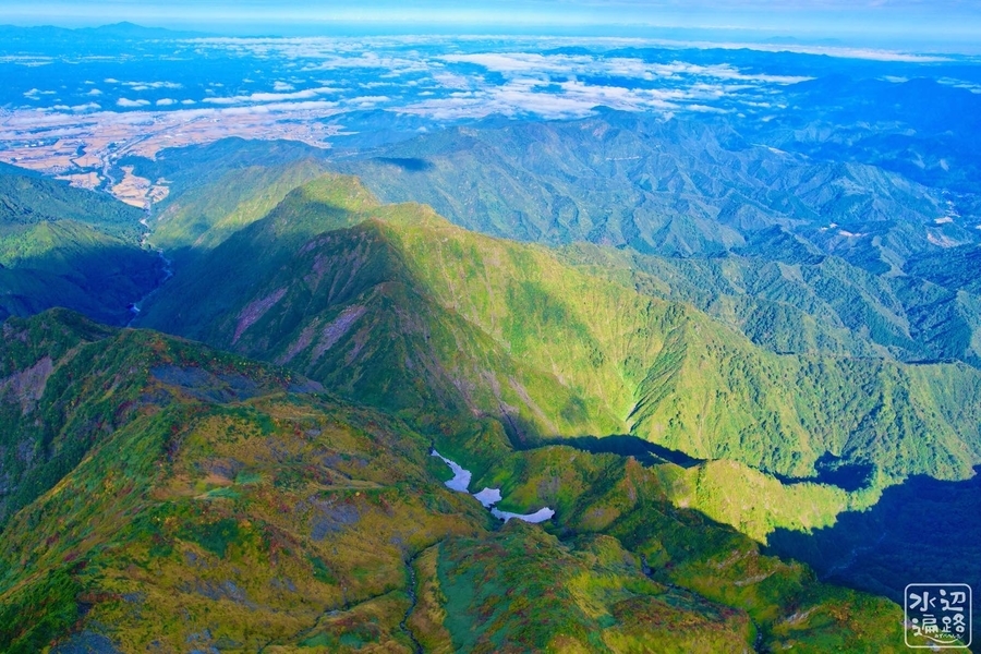
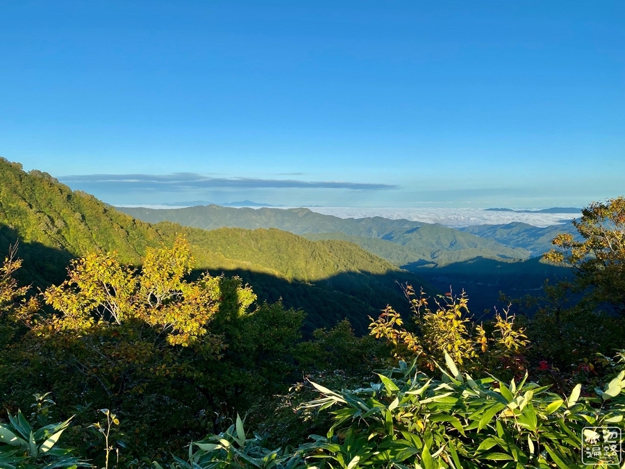
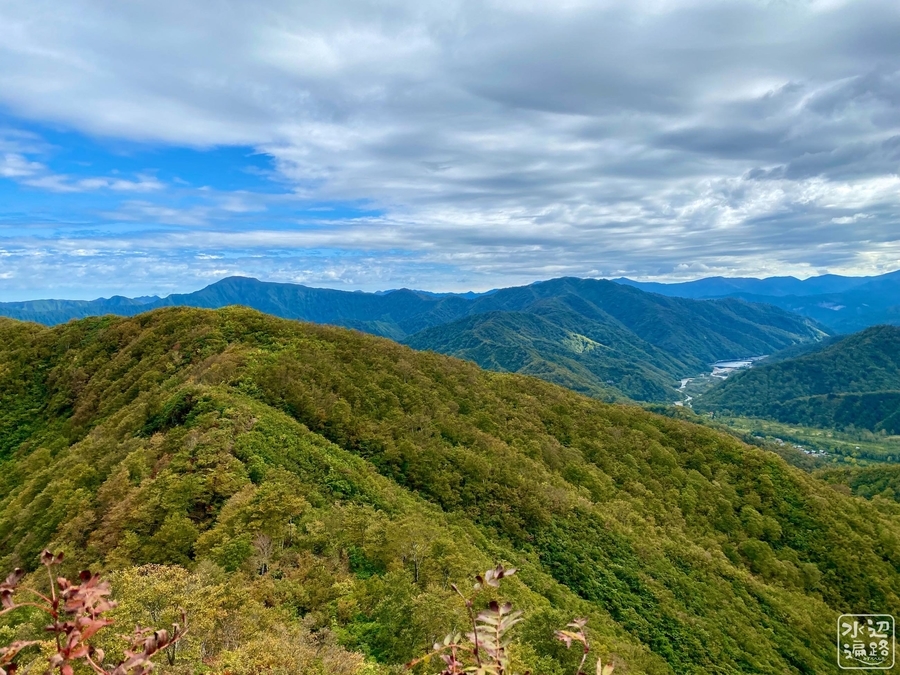
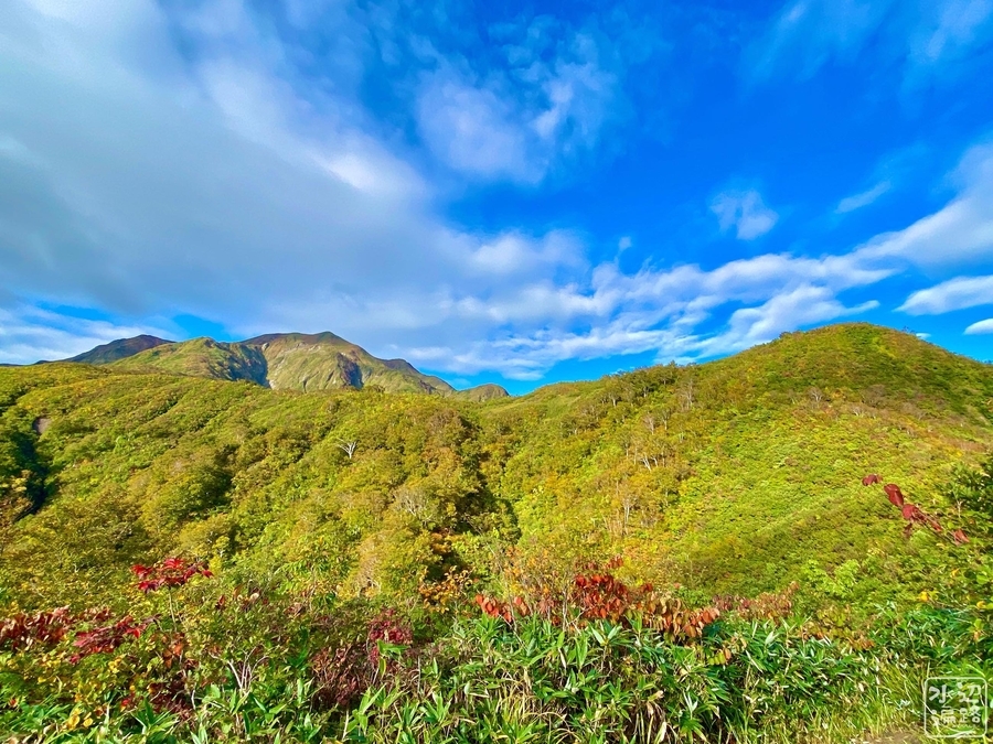
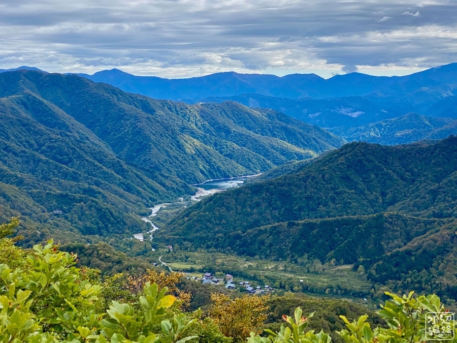
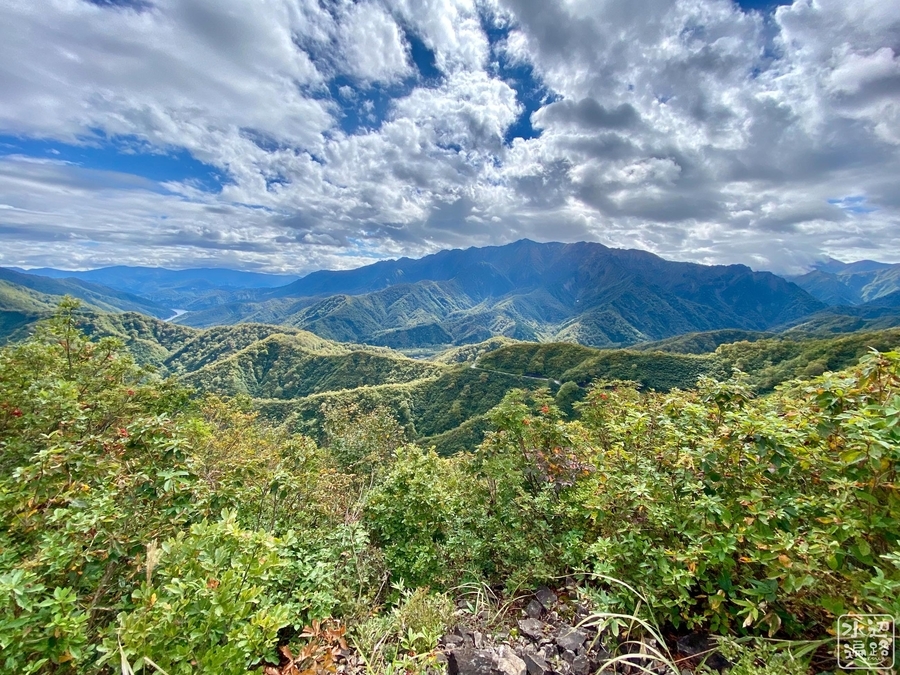
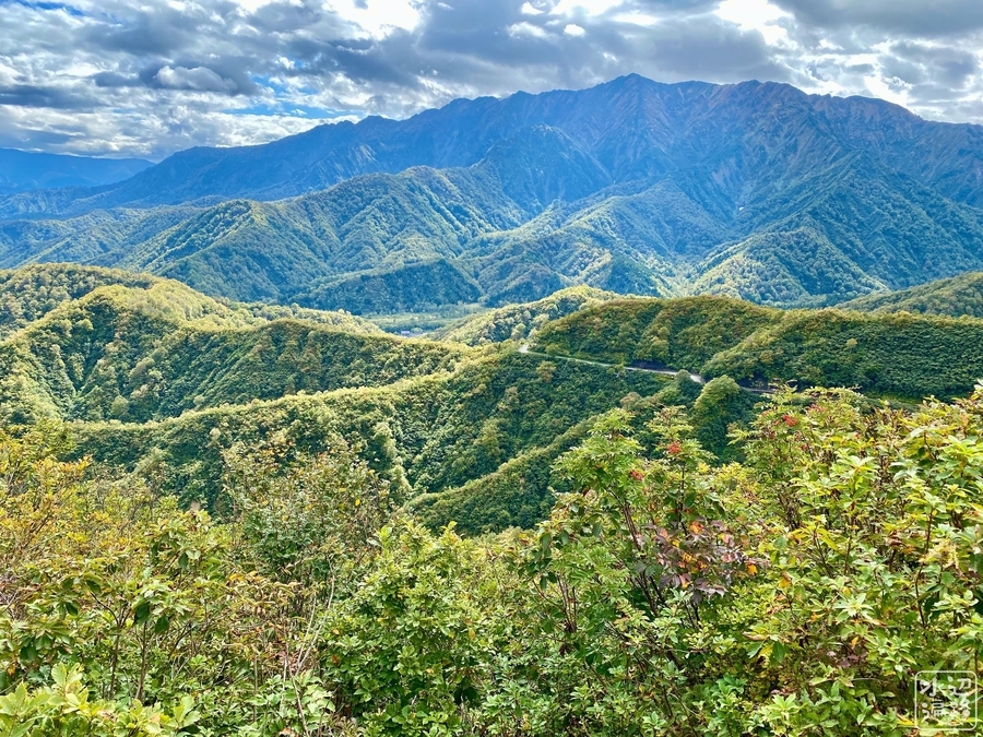
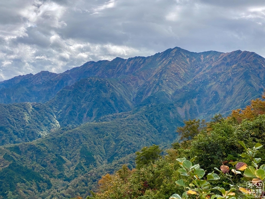
登山路からの眺望
奥只見湖も見える。
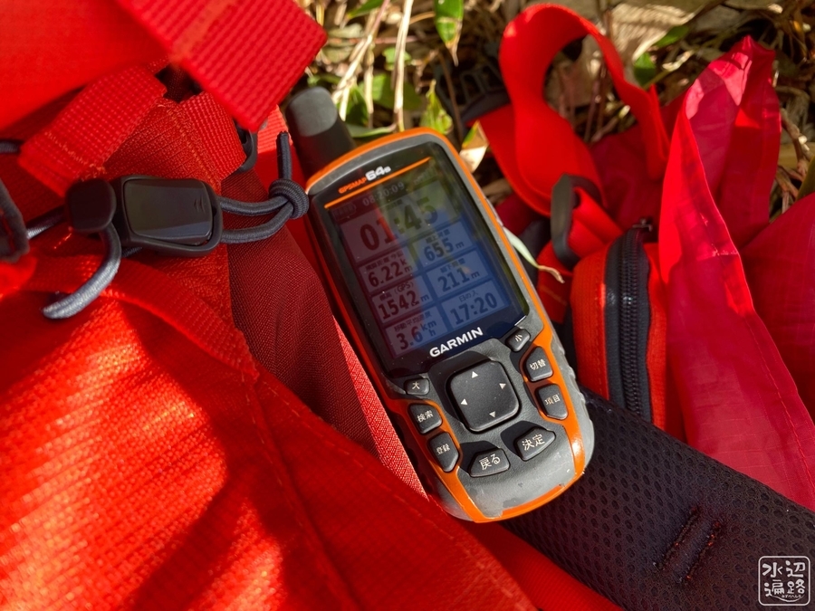
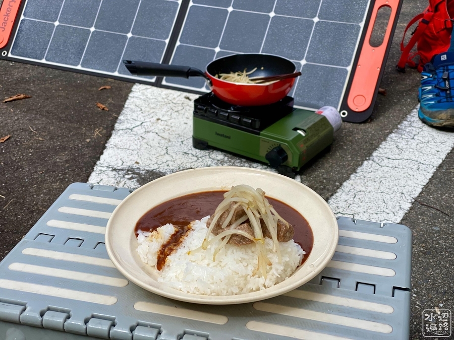
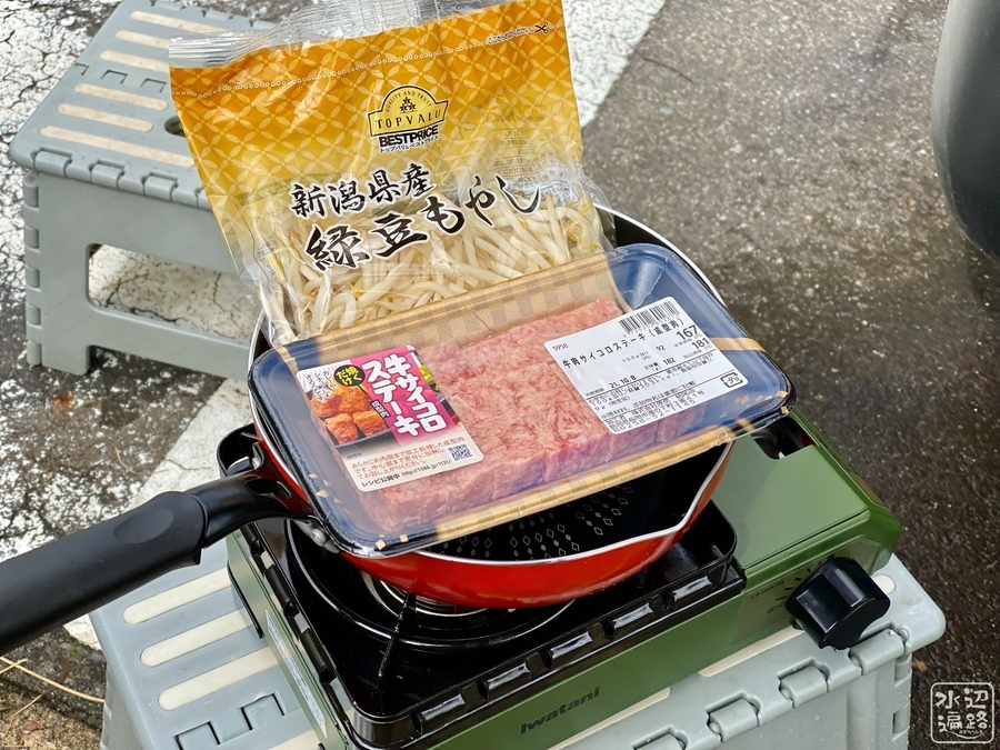
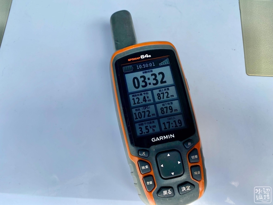
GPSデータと池ごはん
「百草の池カレー」を創作してみようと思ったものの・・。
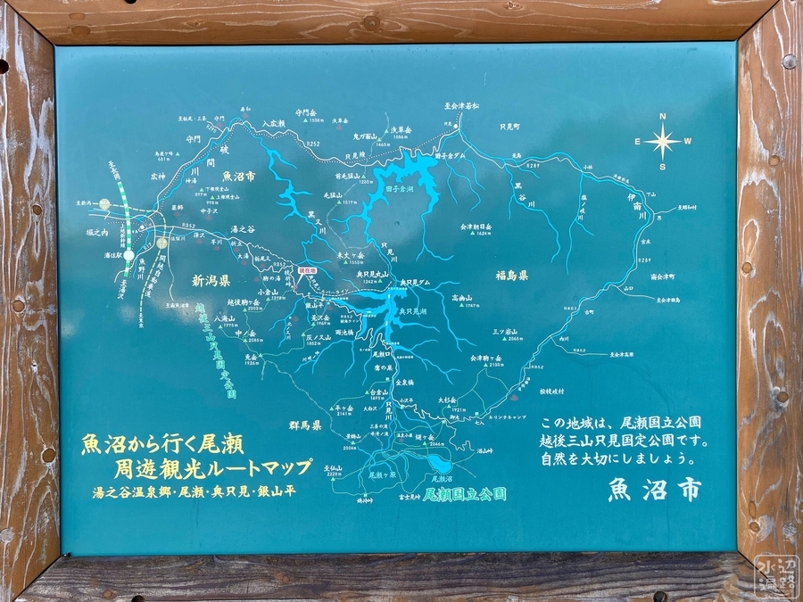
マップ
マークした場所は、百草の池のピンスポットな位置。