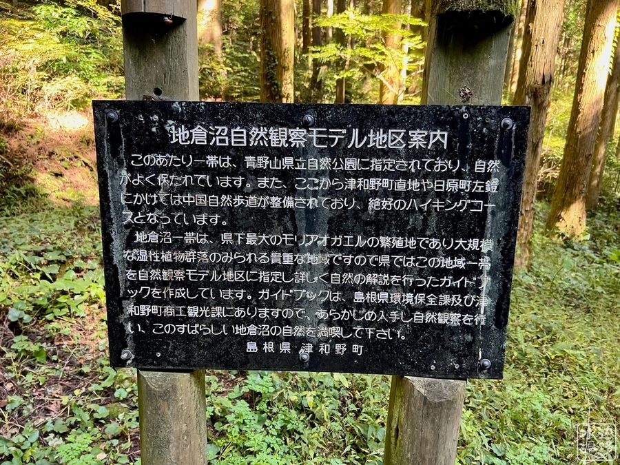
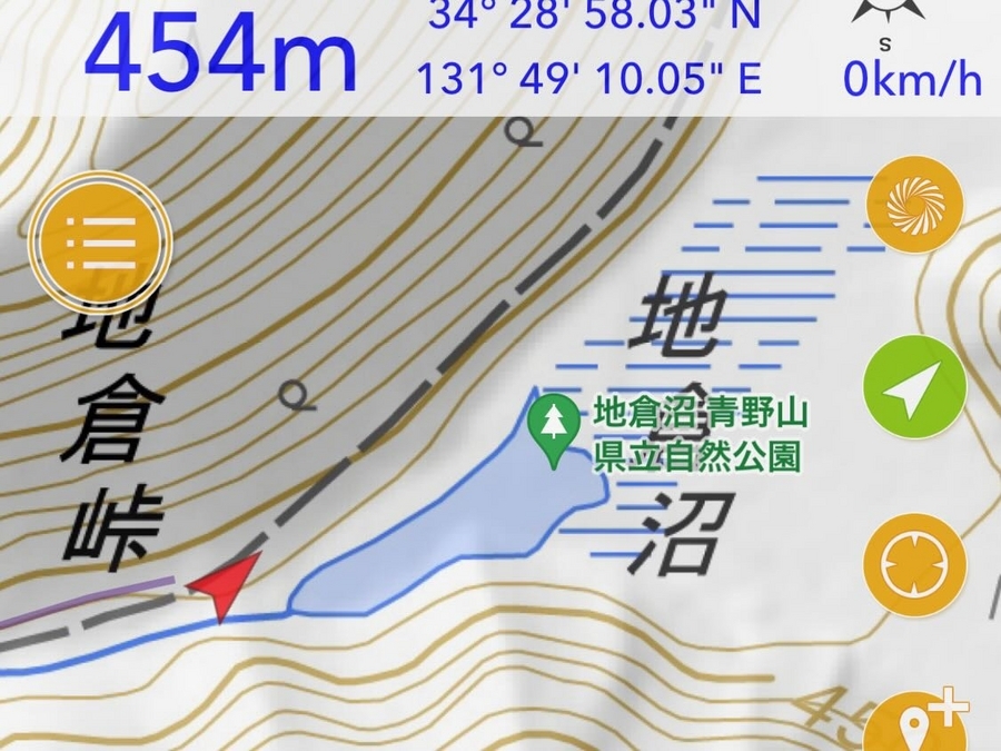
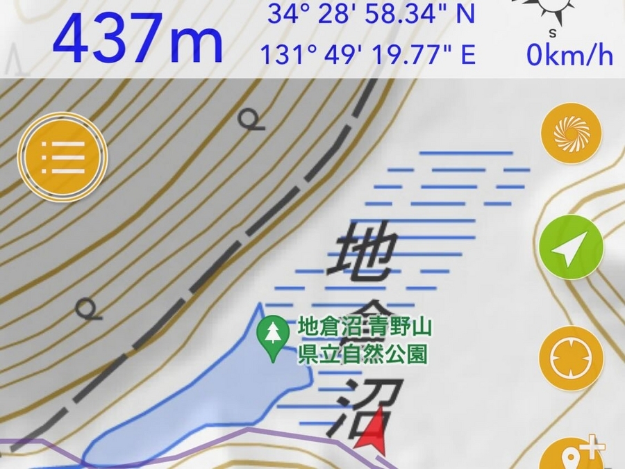
【ちくらぬま / 青野山県立自然公園地倉沼】

揚水式発電の上位調整地のような立地の天然湖沼
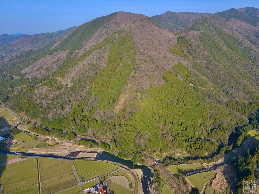
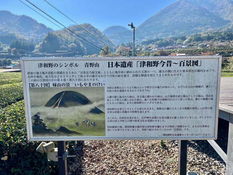
日本屈指の美しい山里である「津和野」を見おろす山上にある標高約430mの天然湖沼。外輪山に囲まれた火口湖のような地形であるが、成因は火山活動(溶岩流?)による堰き止め湖。土砂ダム部分には溶岩の堆積が見られるという。
水位の変動が激しく秋から冬は干上がる。
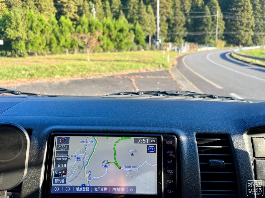
マイカーは児童館に駐車可。駅から徒歩1時間。
日本の重要湿地500。マムシ注意。
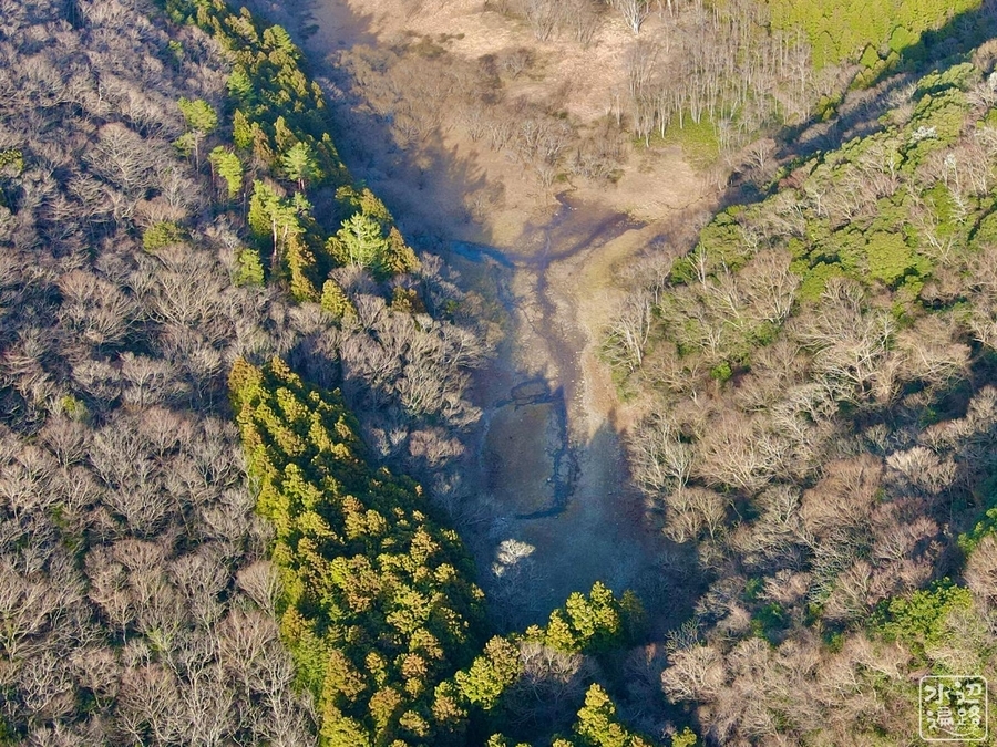
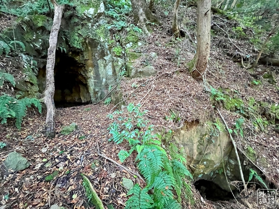
沼の水が抜ける「穴」を発見(2023年)
北海道の大雪山高原「空沼(からぬま)」の事例
ここ地倉沼と同じく、北海道の空沼(からぬま)も毎年、一定期間で水が抜けてしまうが、現地の人の噂どおり水の抜ける穴の存在を確認することができた。
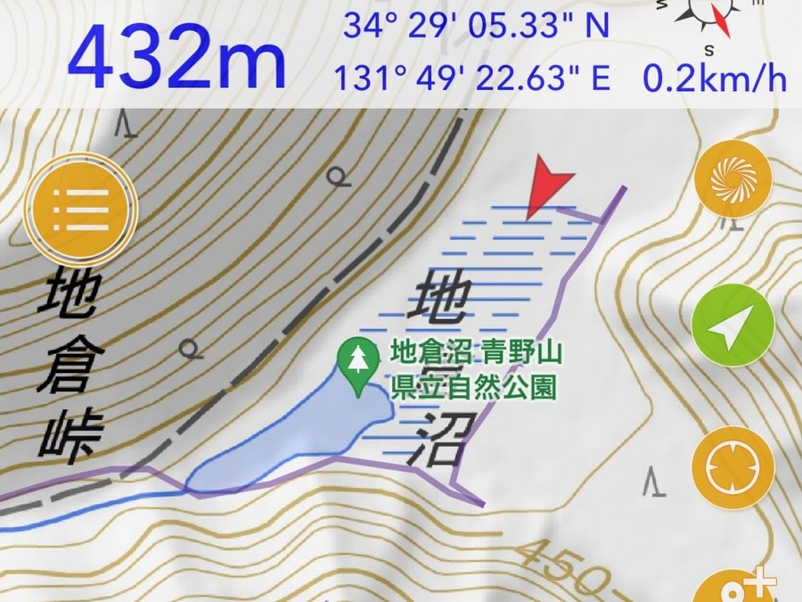
地倉沼の穴
地倉沼にももしやと思っていたら、やはり水の抜け口となっている穴を見つけることができた。オフィシャルサイトでは「湖底の溶岩のすきま」と記されているが、抜けた水は登山路中腹の谷間に滝となって流出しているそうだが、滝の方は確認できなかった。


穴に近づいてみると(標高432m)
穴の近くはつねに水があるらしく、水草が見られた。標高はGPS計測値で432m。


穴を空撮
2023年
澪筋(みおすじ)が沼の右岸側に向かって流れている。


2021年
2023年より澪筋は複雑。穴はもう一つ南側にもありそうに見える。
溶岩の堆積
これも何か水の流れと関係あり?

ぽつんと溶岩

地倉沼の形態と景観
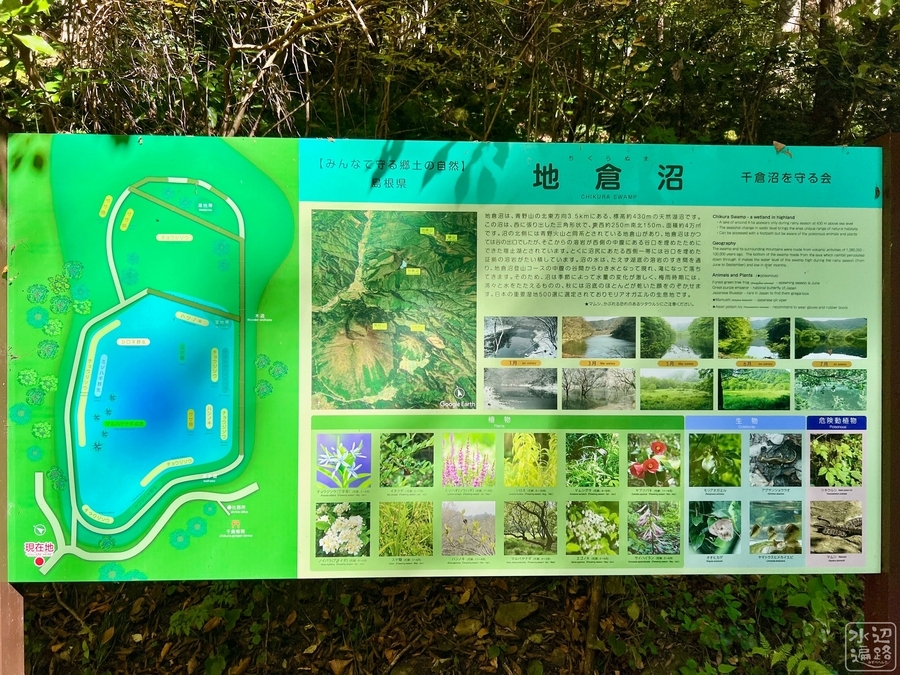
島根県オフィシャルサイトの解説
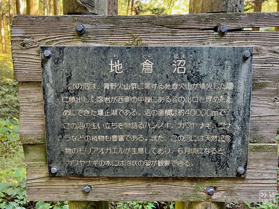
地倉沼は、青野山の北東方向3.5kmにある、標高約430mの天然湖沼です。この沼は、西に張り出した三角形状で、東西約250m南北150m、面積約4万m2です。
沼の北側には青野火山と同系されている地倉山があり、地倉沼はそこからの溶岩が西側の中腹にある谷口を埋めたためにできた堰止湖とされています。とくに沼尻にあたる西側一帯には谷口を埋めた証拠の溶岩がたい積しています。
沼の水は、たえず湖底の溶岩のすき間を通り、地倉沼登山コースの中腹の谷間からわき水となって現れ、滝になって落ちてきます。
そのため、沼は季節によって水量の変化が激しく、梅雨時期には、満々と水をたたえるものの、秋には、湖底のほとんどが乾いた顔をのぞかせます。
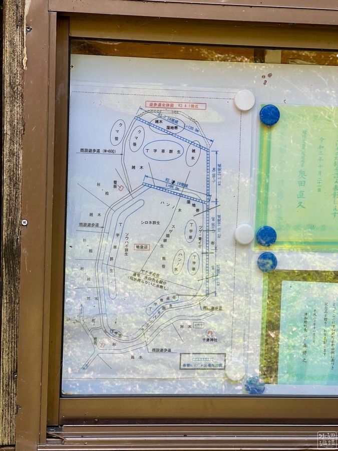
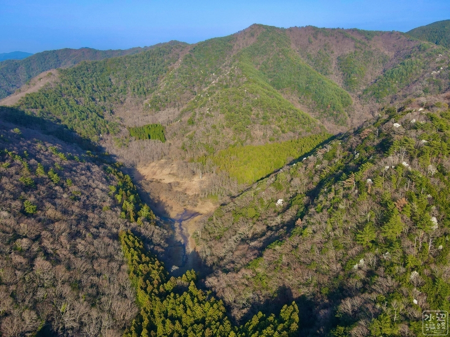
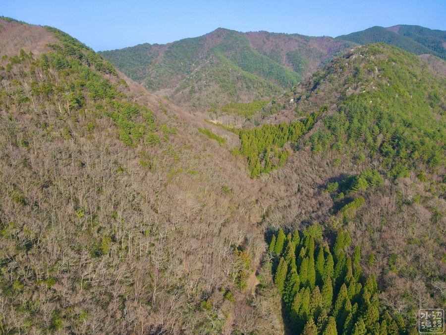
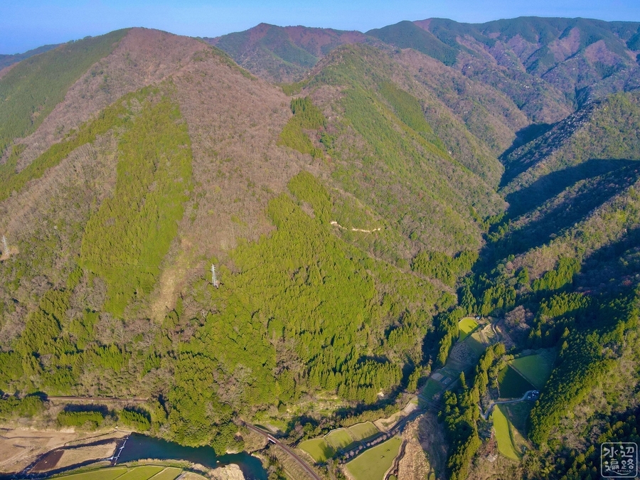
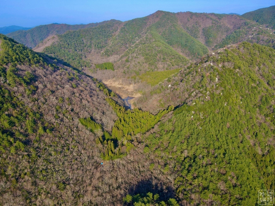
地倉沼の構造と周辺の地形
地倉山(二つの峰の股)の奥に地倉沼
吐き出し
溶岩による堰き止め部


流出河川
流出側は大増水時でもオーバーフローもほとんどなさそう。沢筋があるのは大昔は水位がもっと高かったのだと思われれる。


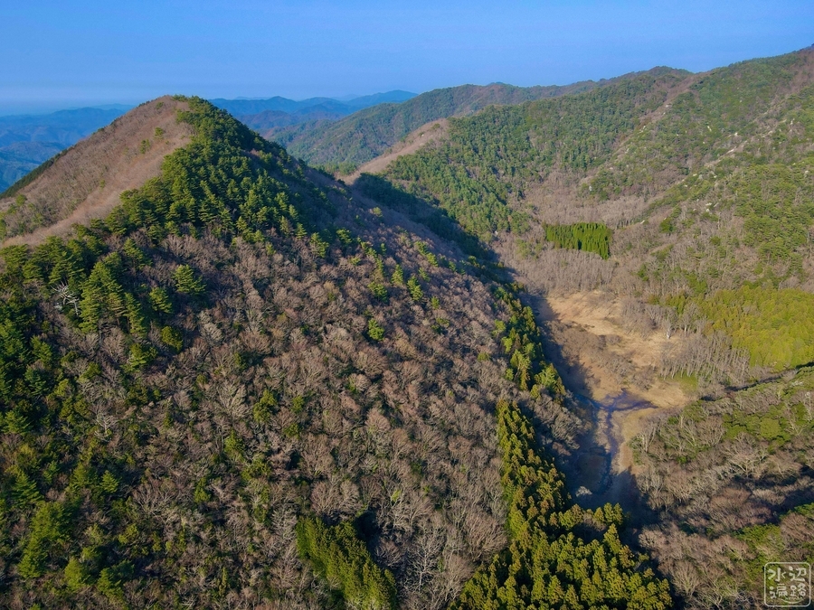
最高水位(標高442m)
令和3年8月に到達した最高水位点。GPS実測値は442mなので、最新部(穴のある位置)の432mと比較すると水深は10m近くになっていたことになる。


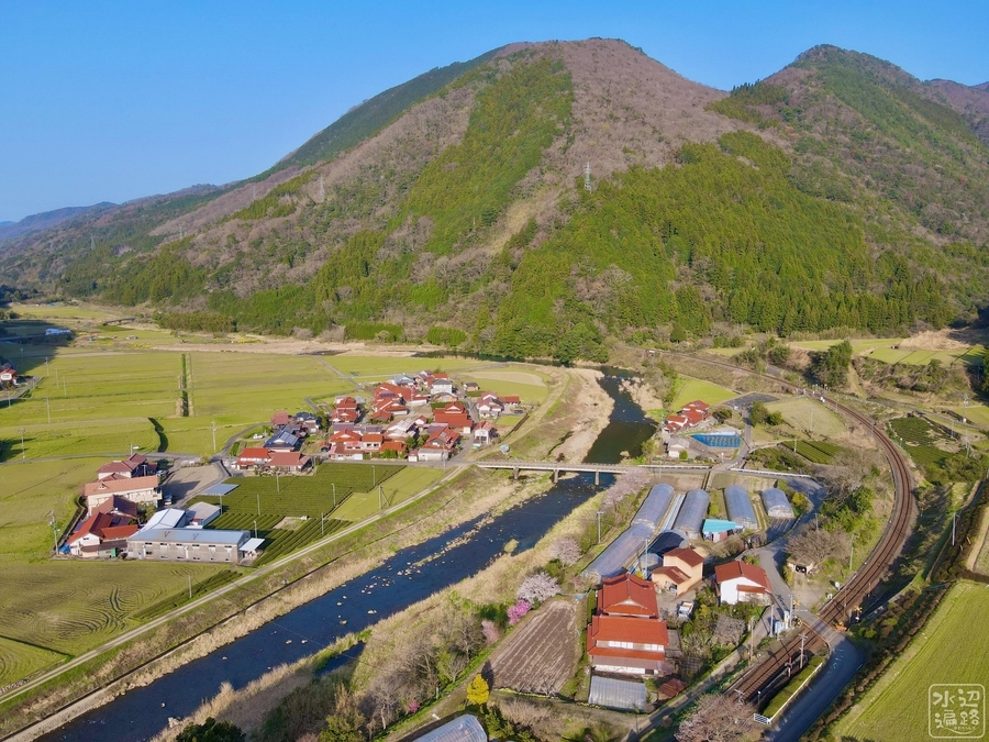
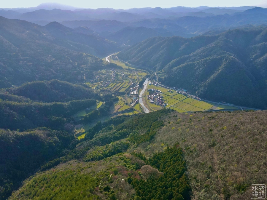
流出する沢→木野谷川→津和野川
写真の下端に見えるのが津和野川。
バックウォーター側
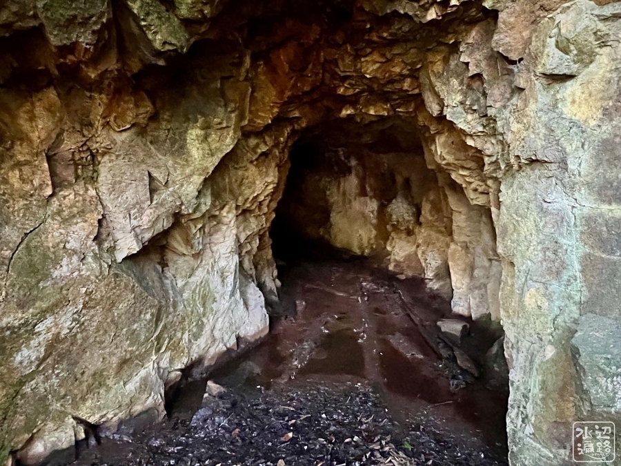
洞穴(水路?)
中は水びたし。下にももう一つ穴が。

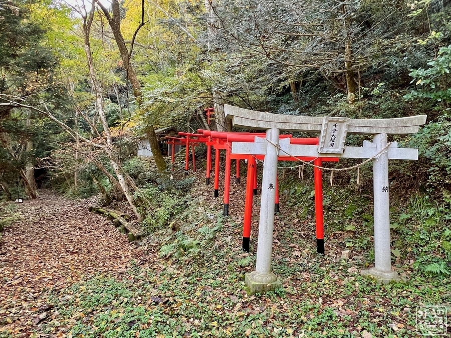
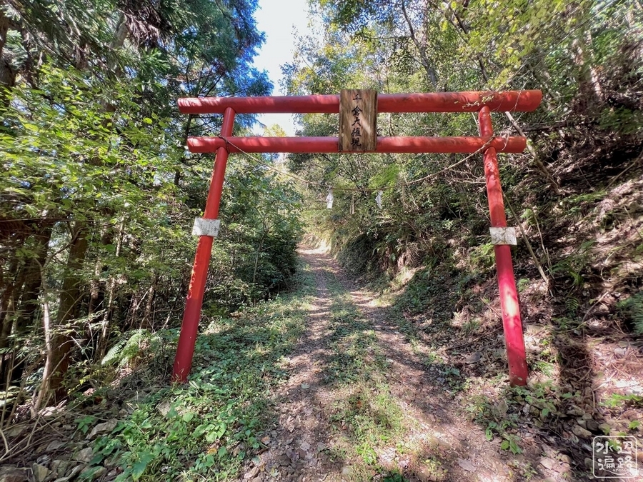
千倉大権現
湿原の流れ込み
湿原の奥の草原
湿原の奥はハンノキと草原。
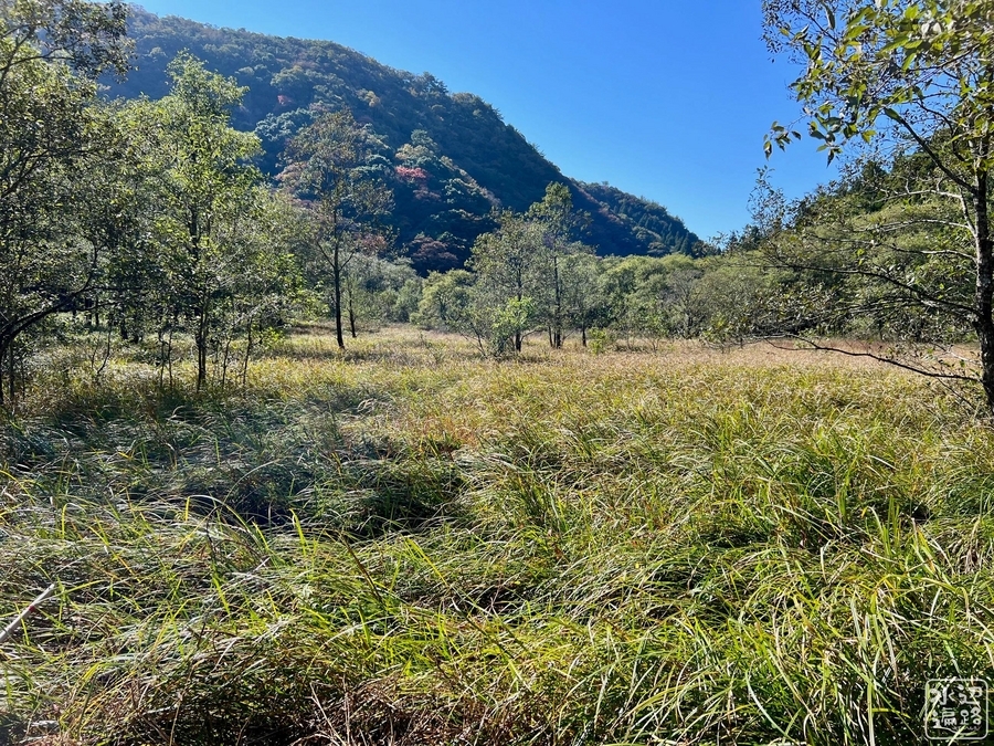
草原の奥の雑木林
この奥は外輪山の斜面となる。

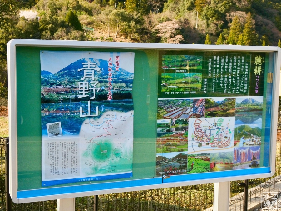
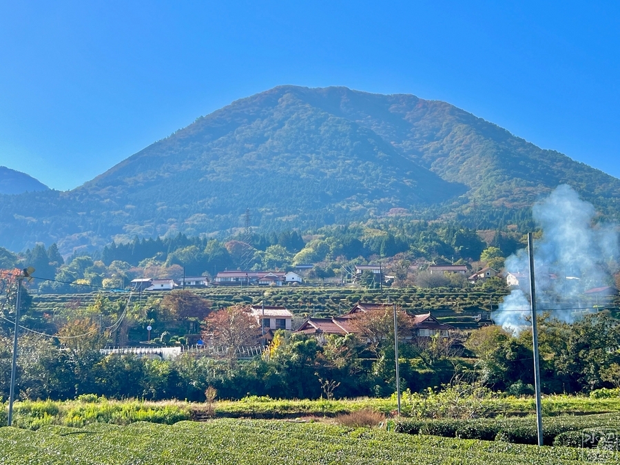
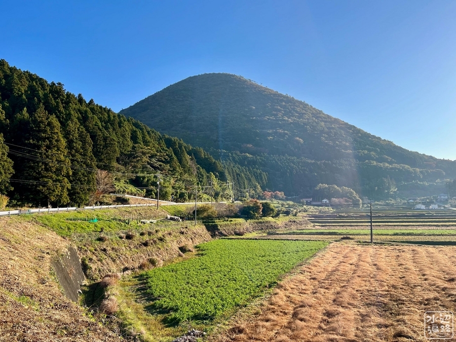
隣にはトロイデ式火山の青野山
なだらかな富士山状の山容
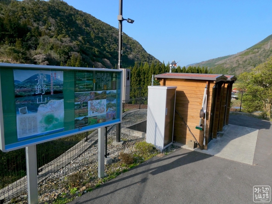
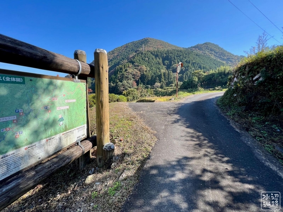
山麓駐車場と案内板


山腹の登山口駐車場と案内板
舗装駐車場およびトイレあり。


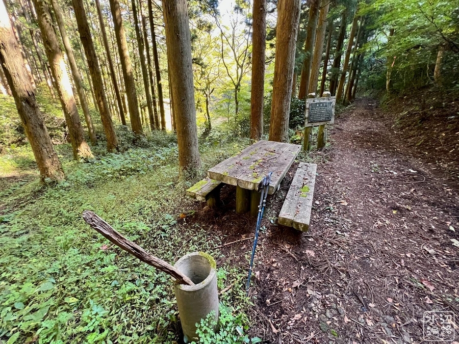
登山口

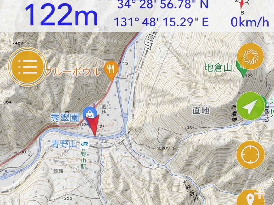
JR山口線 青野山駅
駅周辺の農地

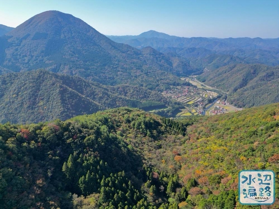
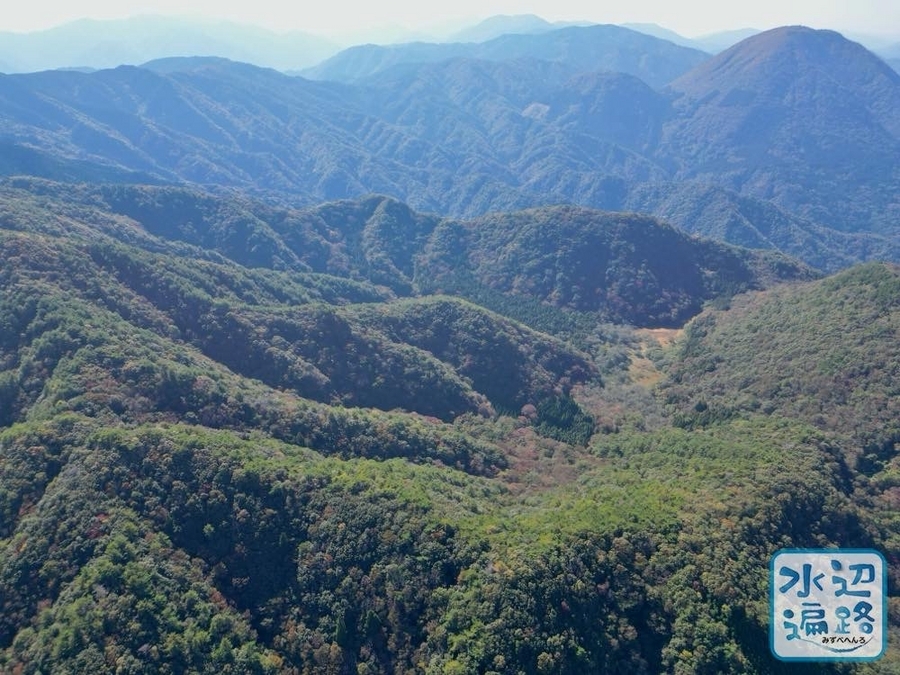
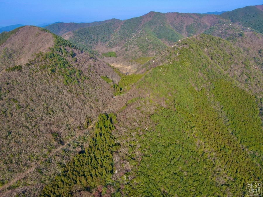
地形空撮
地倉沼と青野山

外輪山と沼全景


その他


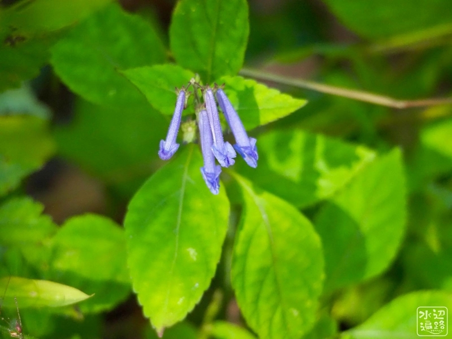
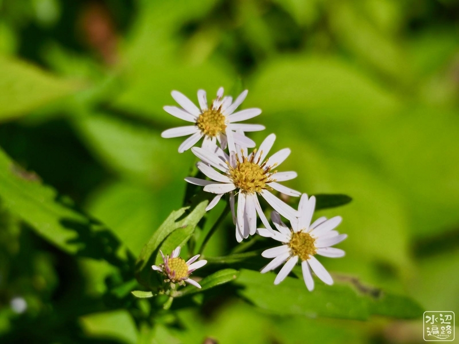
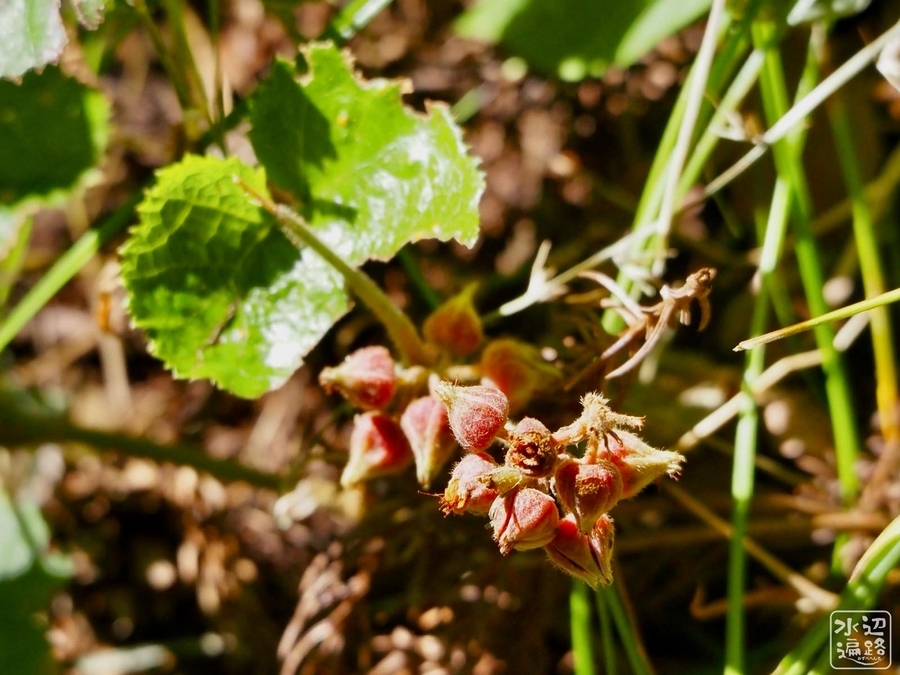
地倉沼周辺の動植物
バックウォーター側の湿原には、チョウジソウ群落。モリアオガエルも自生。


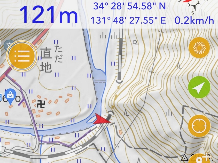
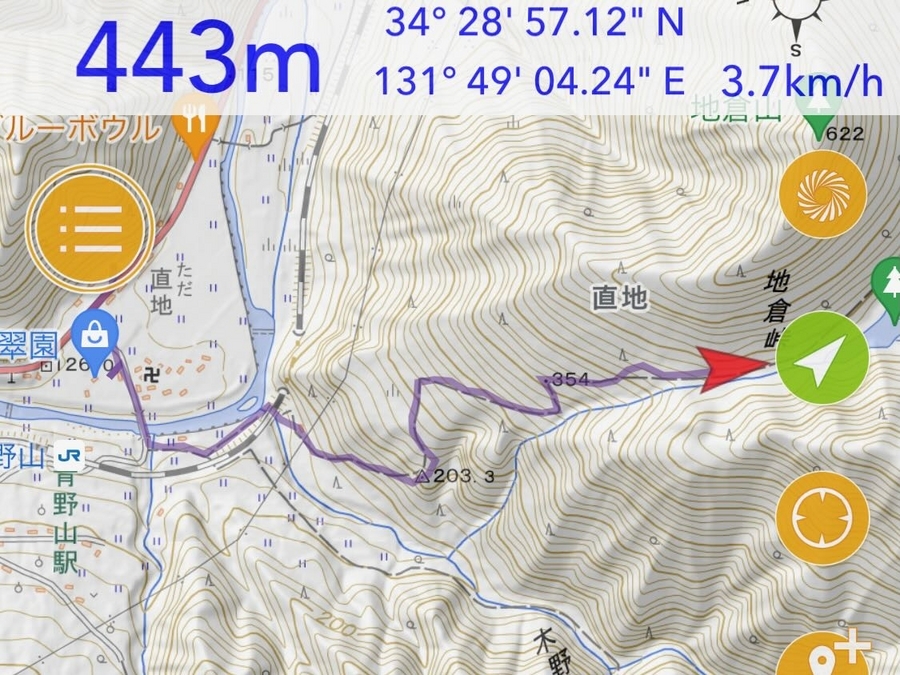
地倉沼へのアクセス
登山道でのアクセス(徒歩)
登山者用の駐車場
地倉沼への徒歩アクセスの際のオフィシャル駐車場として指定されているのがここ。


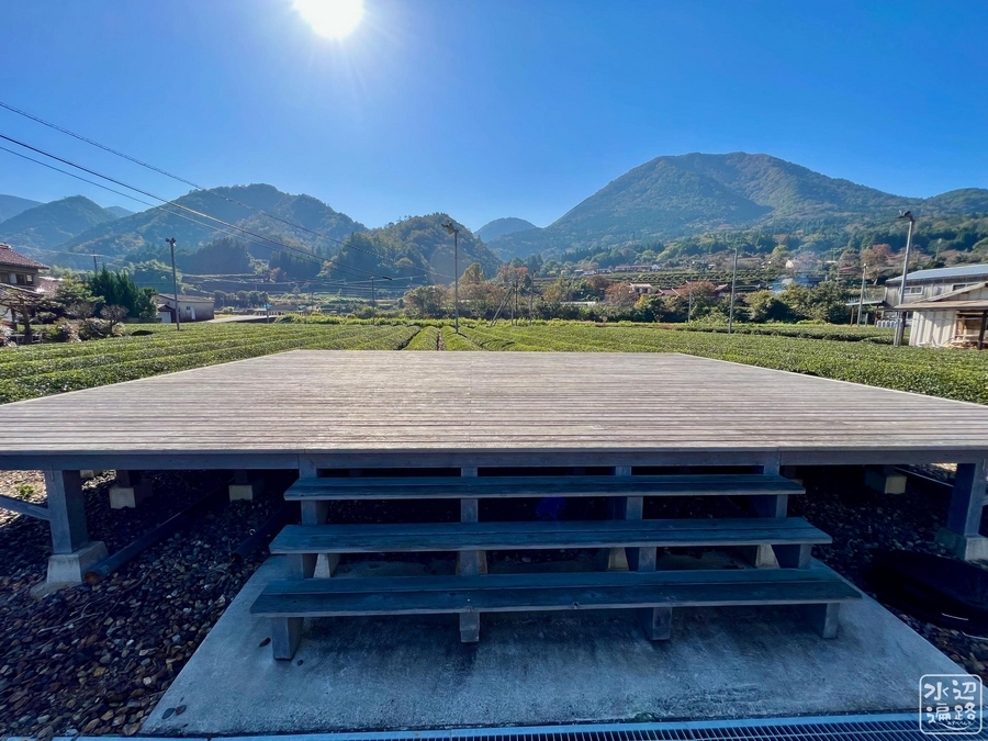
茶畑と青野山(展望所と案内板)

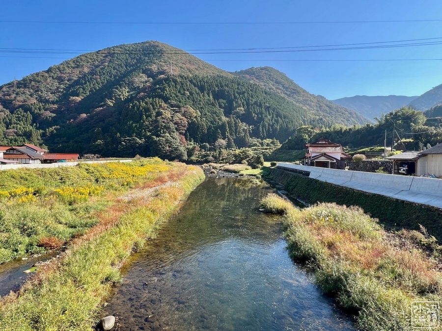
津和野川を渡る
奥に見えるのが地倉沼をいただく地倉山。
一つ目の分岐(舗装路)
左に折れる。民家と案内板がある。
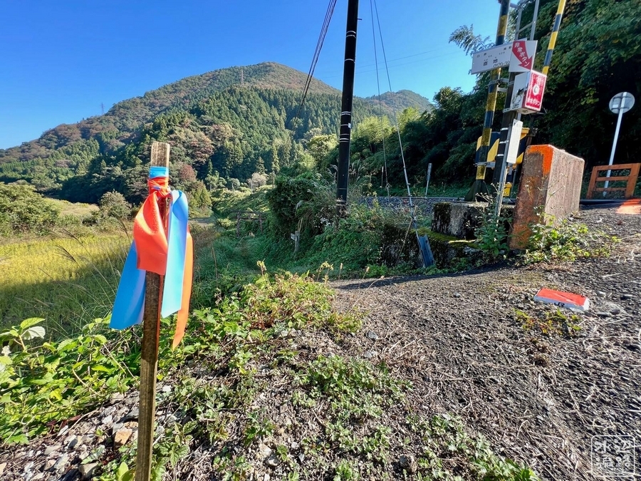
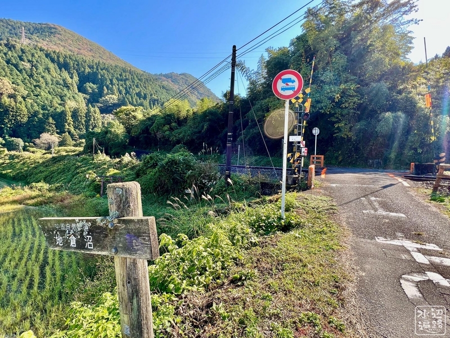
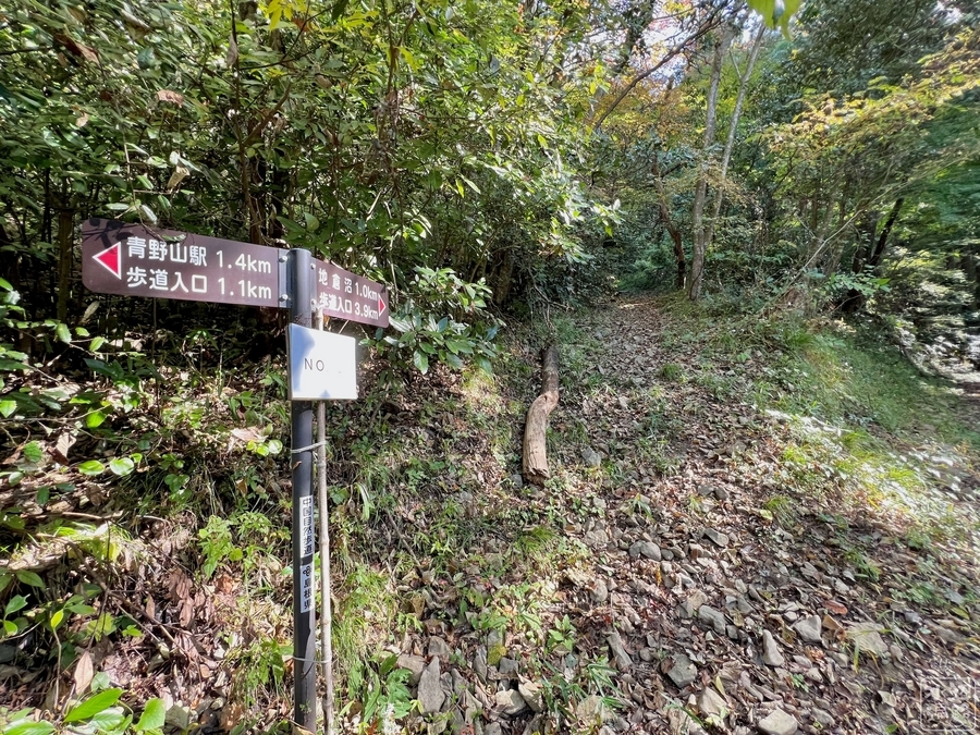
踏切手前に登山口が
分かりにくいが踏切の手前に「地倉沼」を示す道標があり、登山口への入口がある。ここから線路伝いに歩く。
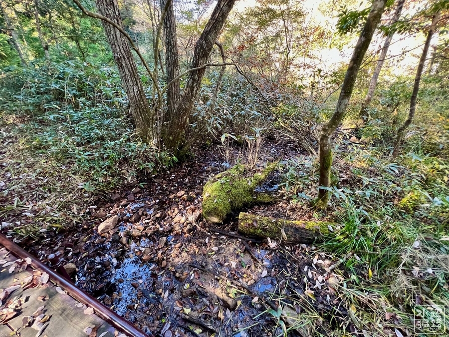
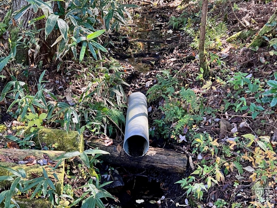
線路をくぐり沢を渡る
この沢は地倉沼からの流れ出しを回収した木野谷川。
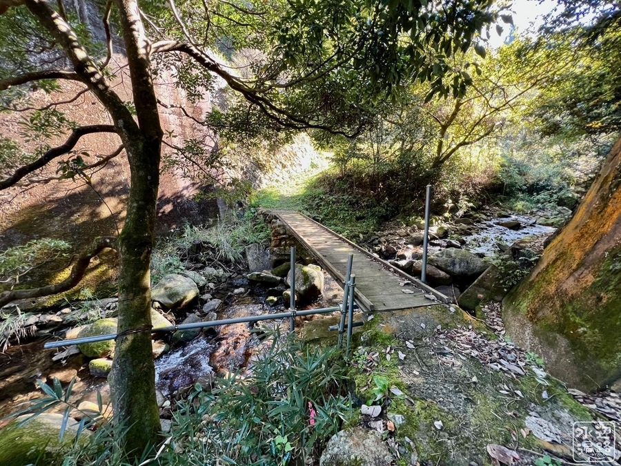
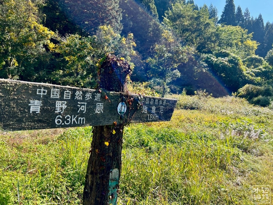
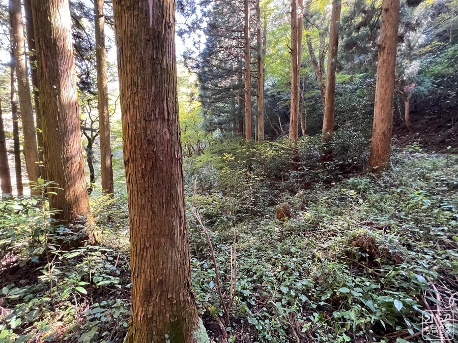
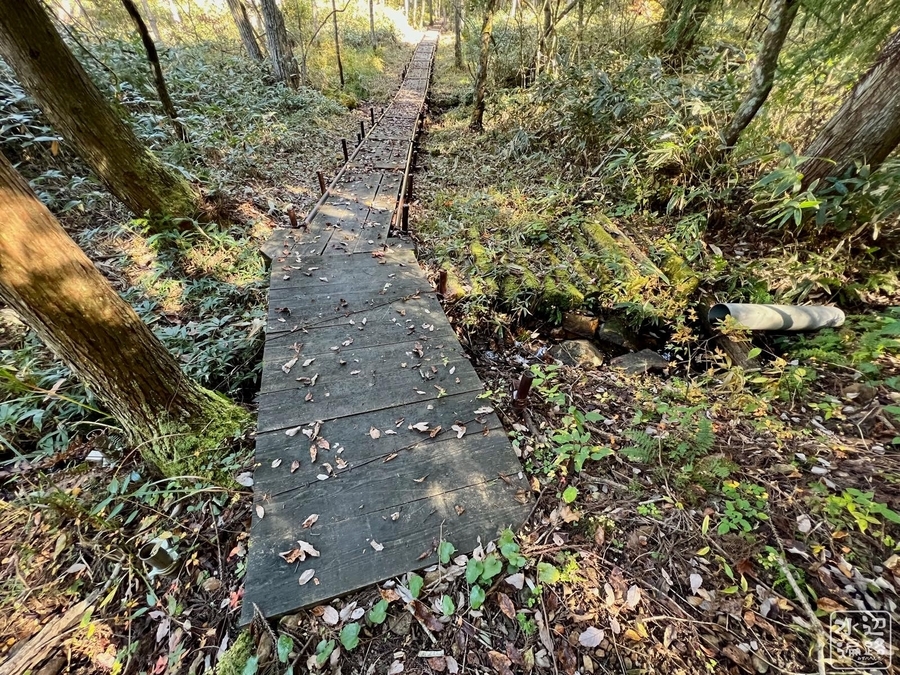
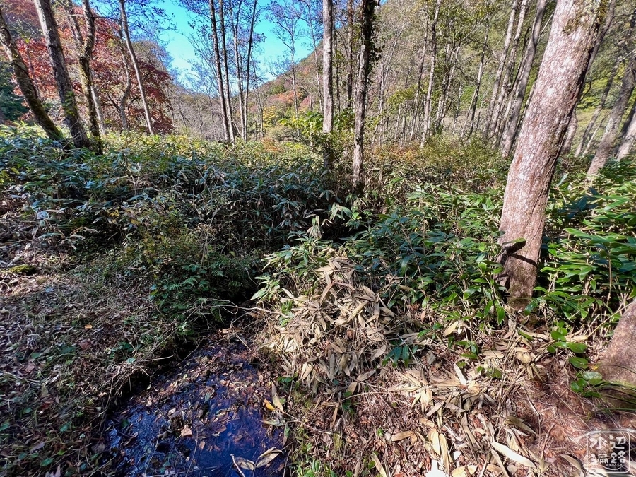
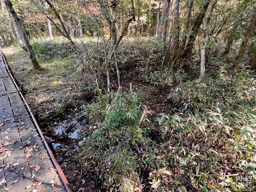
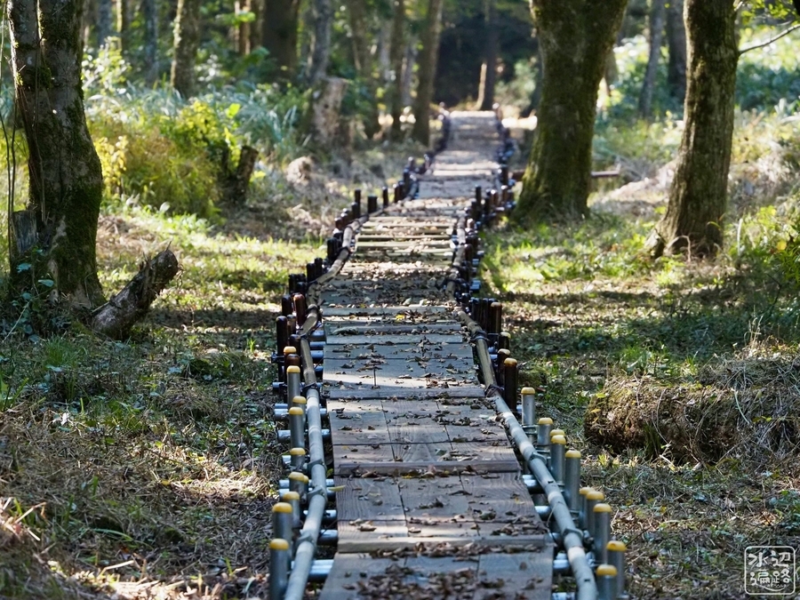
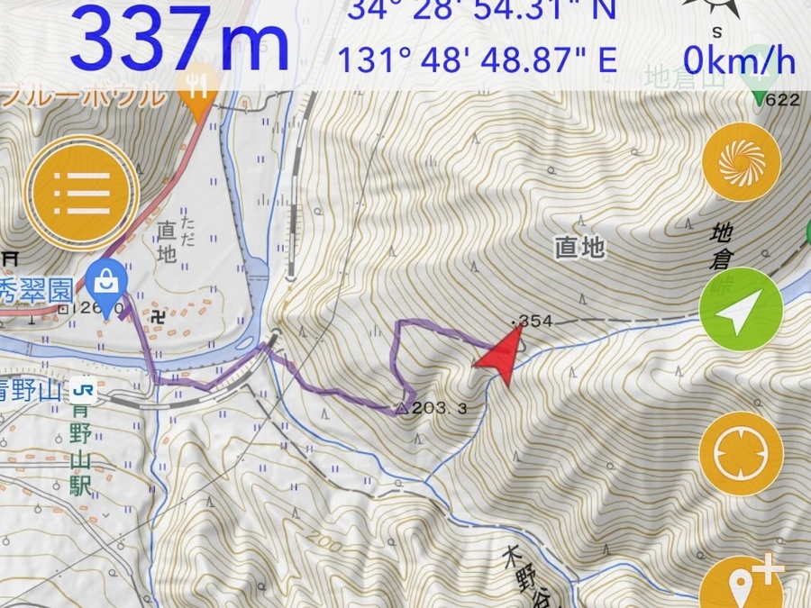
登山路
ほぼ全行程にわたって歩きやすい。ところどころ林道と合流する。
ダート林道でのアクセス
池のほとりまでクルマが通れる幅の林道が通じている。ただしけっこう荒れている場所もあるので、四駆車やオフロードバイクが無難。
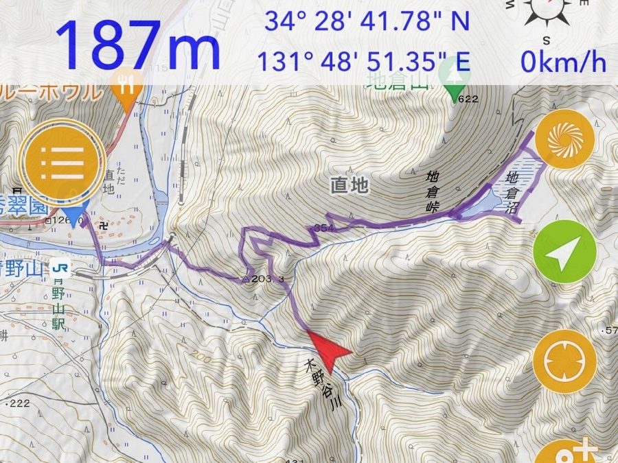

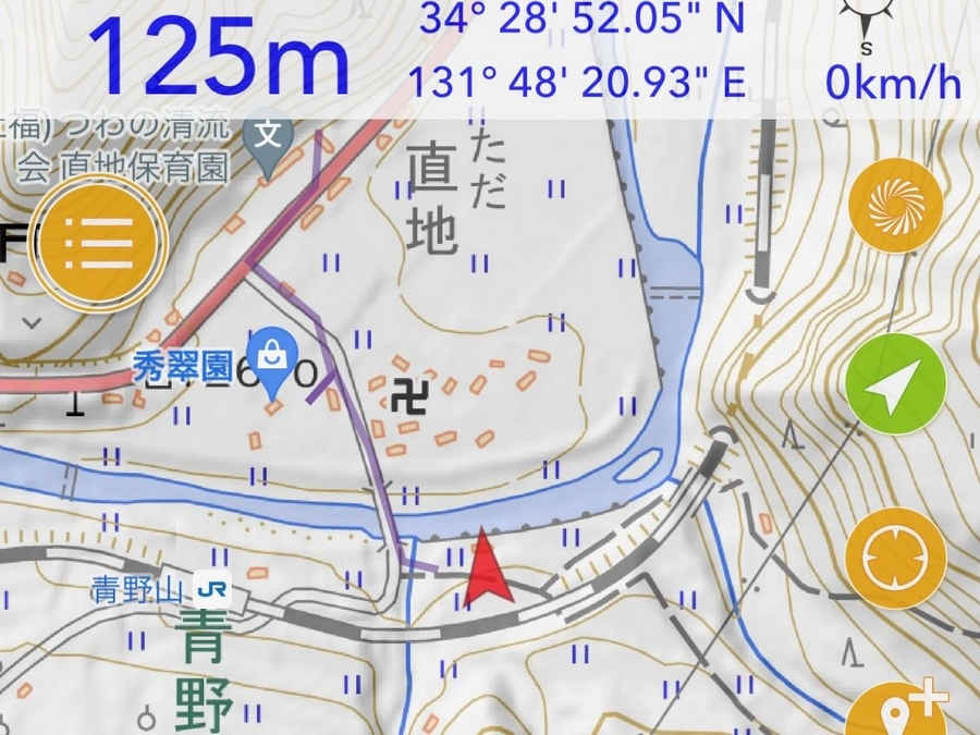
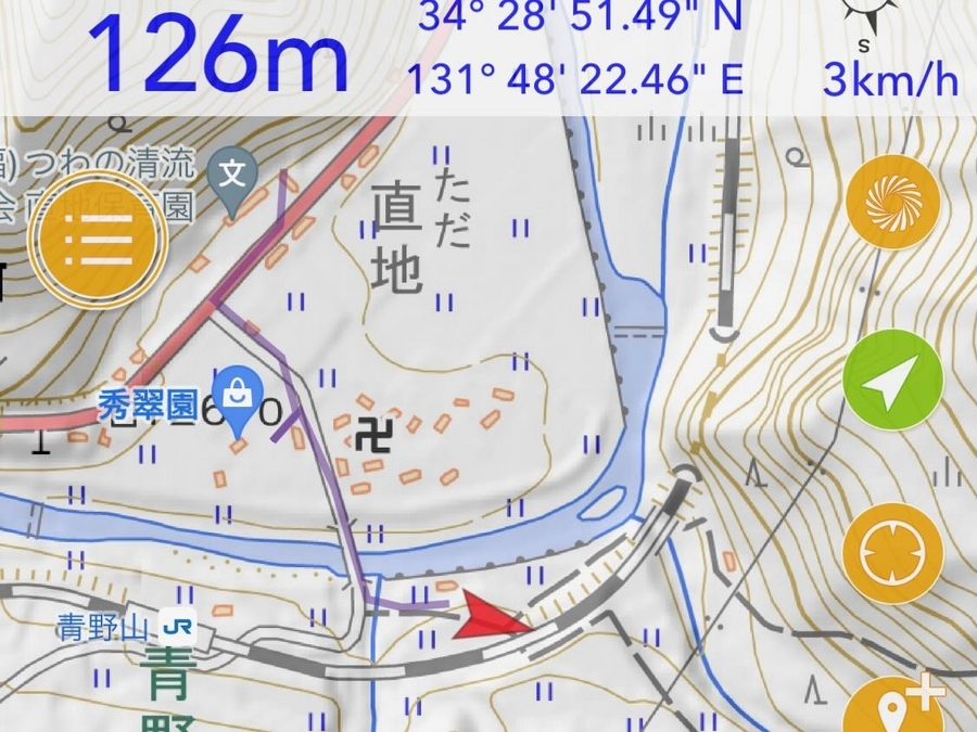
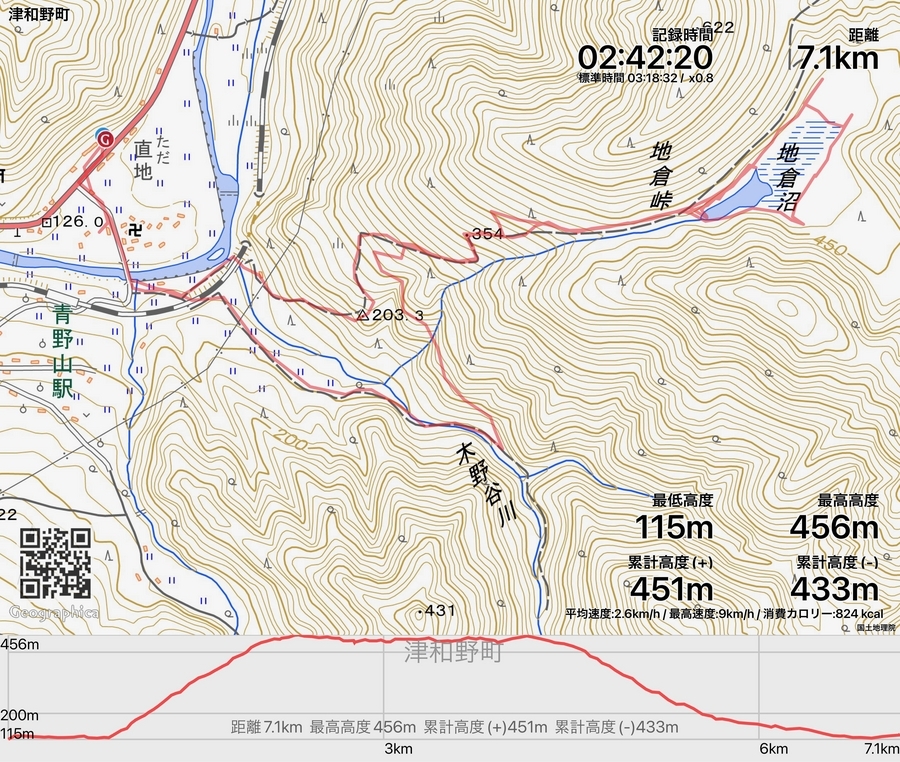
GPSログ
往路は登山道、復路は林道を使った。
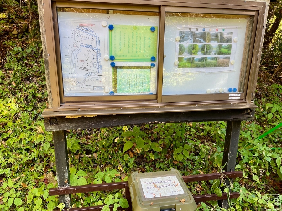
案内板