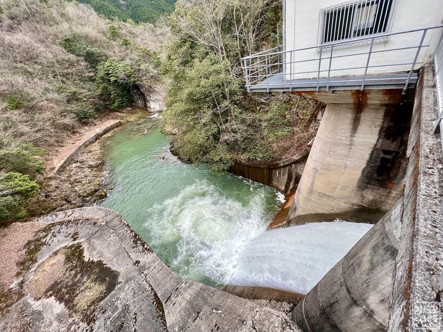
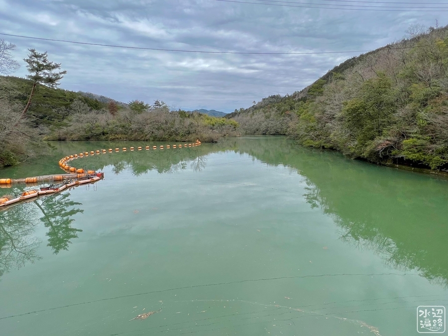
生雲ダムは、こじんまりとした中国電力の発電用調整池。
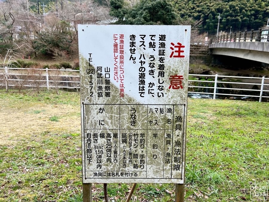
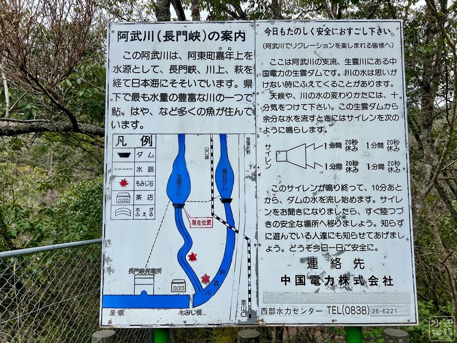
釣り禁止。ダム下流側の遊歩道は通行止め。
堰堤
堤高17.5mの重力式コンクリートダム。
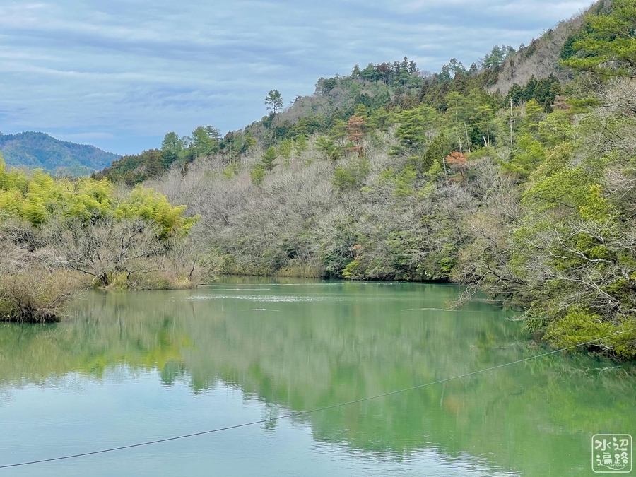
![](https://cdn-ak.f.st-hatena.com/images/fotolife/c/cippillo/20220517/20220517100613.jpg)
![](https://cdn-ak.f.st-hatena.com/images/fotolife/c/cippillo/20220517/20220517100605.jpg)
![](https://cdn-ak.f.st-hatena.com/images/fotolife/c/cippillo/20220517/20220517100542.jpg)
![](https://cdn-ak.f.st-hatena.com/images/fotolife/c/cippillo/20220517/20220517100557.jpg)
調整池
釣り、遊泳、ボートなど立入禁止看板あり。
![](https://cdn-ak.f.st-hatena.com/images/fotolife/c/cippillo/20220517/20220517100643.jpg)
![](https://cdn-ak.f.st-hatena.com/images/fotolife/c/cippillo/20220517/20220517100635.jpg)
アクセス
狭い離合困難な舗装路を1kmほど進んだどんづまりにある。
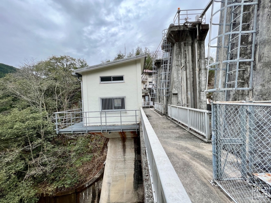
![](https://cdn-ak.f.st-hatena.com/images/fotolife/c/cippillo/20220517/20220517100703.jpg)
![](https://cdn-ak.f.st-hatena.com/images/fotolife/c/cippillo/20220517/20220517100656.jpg)
![](https://cdn-ak.f.st-hatena.com/images/fotolife/c/cippillo/20220517/20220517100650.jpg)
管理所
ここのダム看板に「榎谷ダム」なるものを見つけて、この先、冒険に。
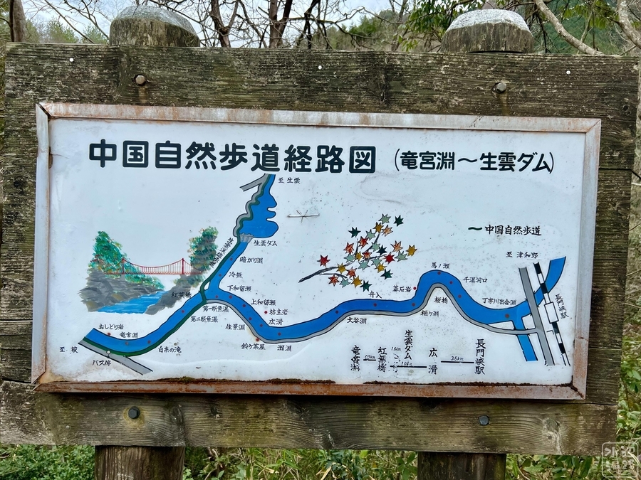
![](https://cdn-ak.f.st-hatena.com/images/fotolife/c/cippillo/20220517/20220517100627.jpg)
![](https://cdn-ak.f.st-hatena.com/images/fotolife/c/cippillo/20220517/20220517100620.jpg)
中国自然歩道
管理所から先の遊歩道は通行止めになっていた。
![](https://cdn-ak.f.st-hatena.com/images/fotolife/c/cippillo/20220517/20220517100822.jpg)
![](https://cdn-ak.f.st-hatena.com/images/fotolife/c/cippillo/20220517/20220517100807.jpg)
Googleマップ
マークした場所に管理所。
榎谷ダム
生雲ダムの上流側の、阿武川本流に設けられた取水堰。ハイダムではない。
![](https://cdn-ak.f.st-hatena.com/images/fotolife/c/cippillo/20220517/20220517100454.jpg)
![](https://cdn-ak.f.st-hatena.com/images/fotolife/c/cippillo/20220517/20220517100500.jpg)
航空写真に切り替えると榎谷ダムが見える。