
消失した「池山」の池
その名も「池山」という名の山の頂上近くにある池。ただし水が涸れて久しいらしく、現地の登山マップにも「池跡」と記されていた。
現在は水場として山小屋が立つ。
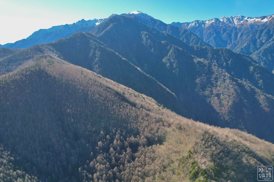
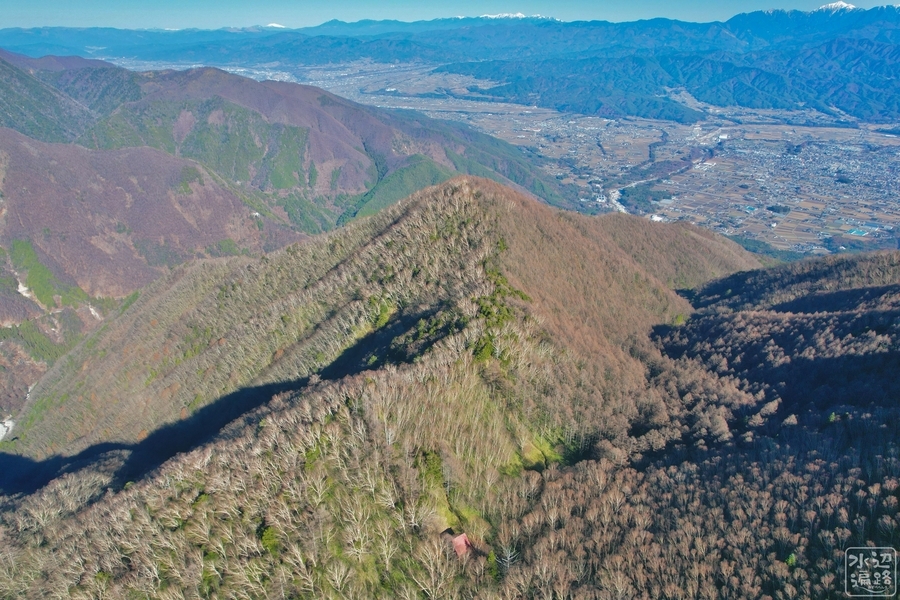
池山の池跡(空撮)
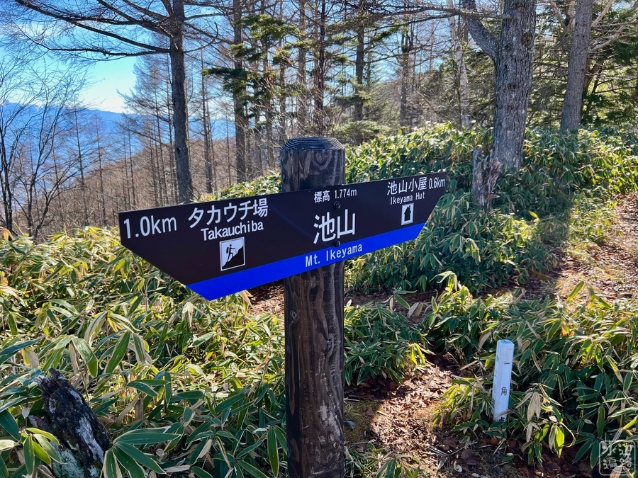
池山山頂下の山肩に立地
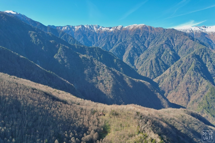


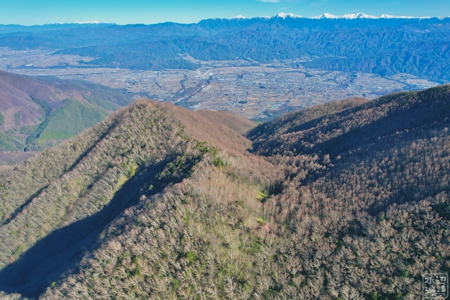
池山の下側
池跡はなだらかな稜線鞍部に位置しており、山裾に向かってしっかりと谷が刻まれている。下の写真で池のあった地点は山小屋の屋根が目印になる。

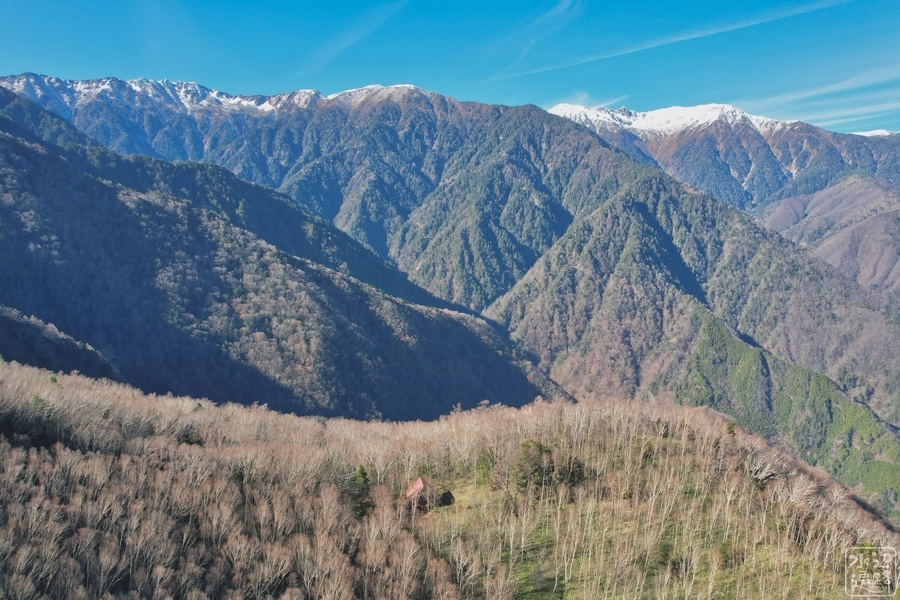
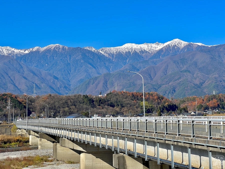
遠景
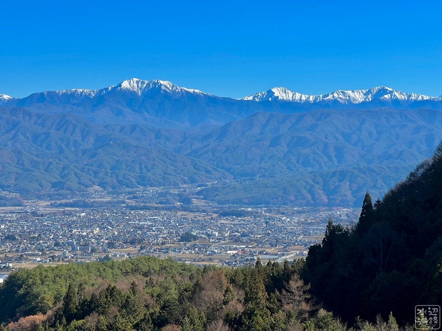
池山遠景

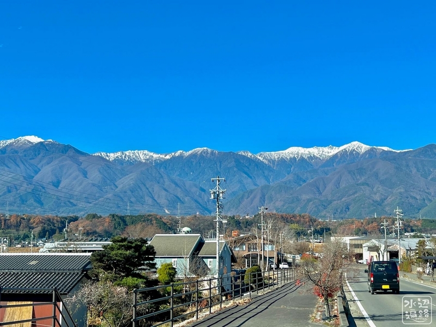
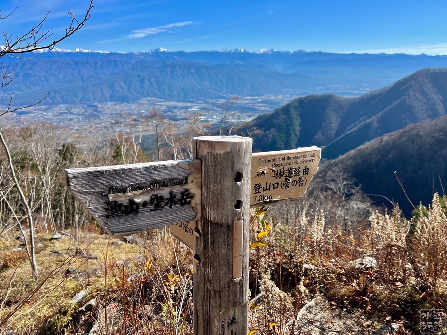
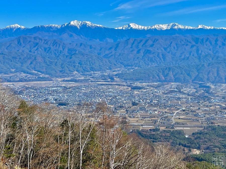
池山からの眺望

池山へのアクセス
空木岳登山道(池山尾根)
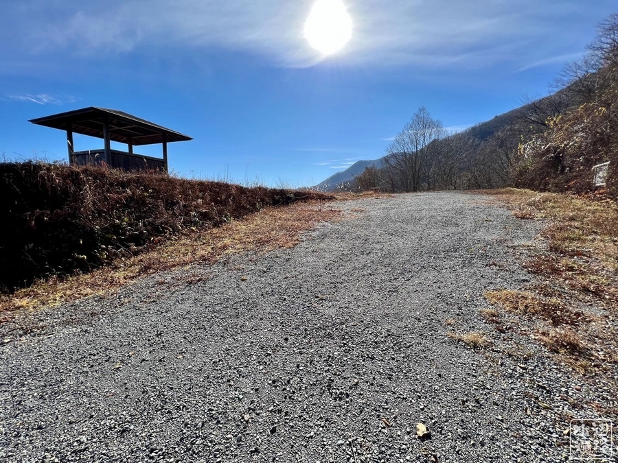
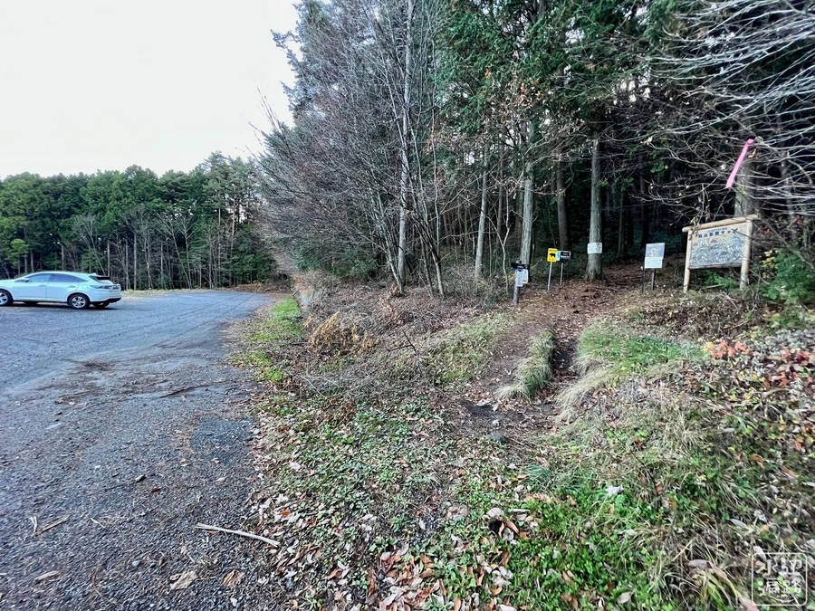
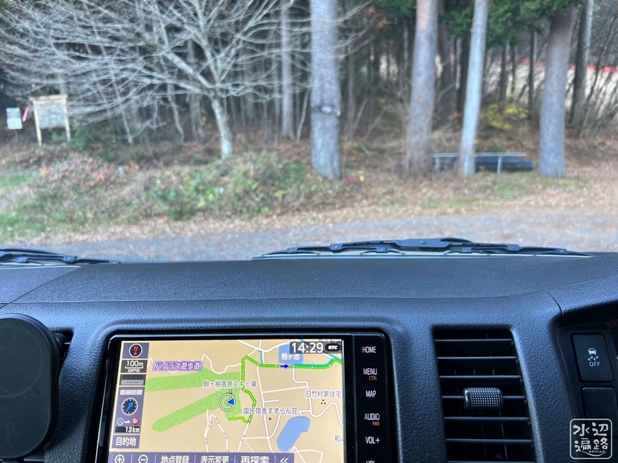
池山林道起点
林道終点に駐車場があるものの、訪れたときは林道自体が車両通行止めだったため、林道起点のスキー場駐車場にクルマを停めて歩いた。公衆トイレあり。


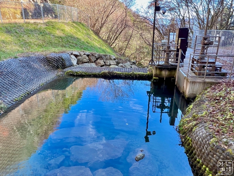
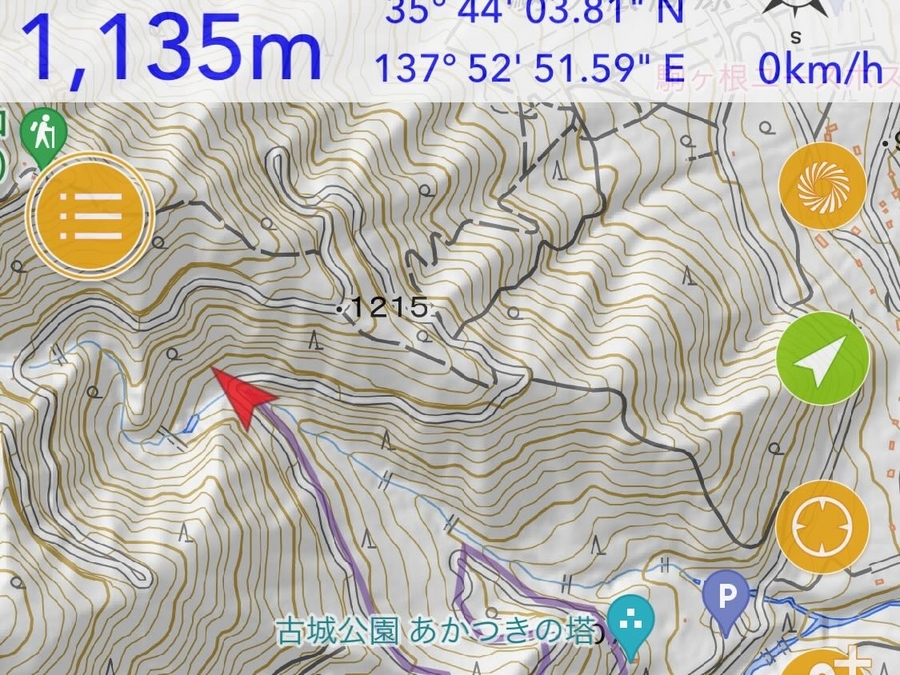
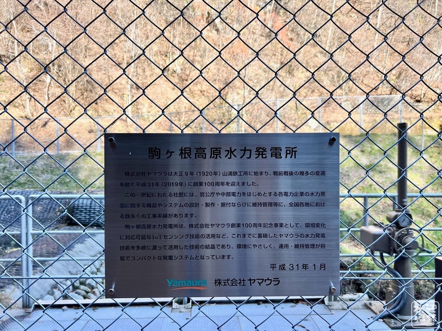
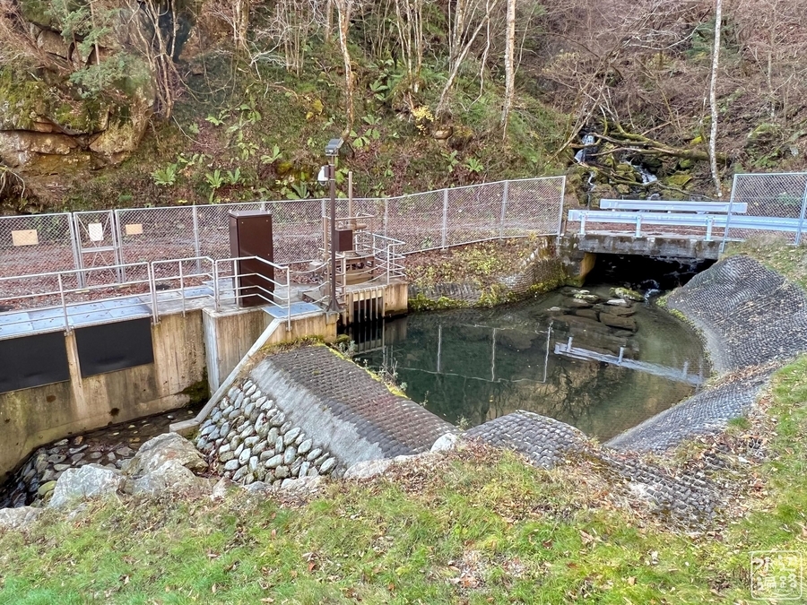
駒ヶ根高原水力発電所ダム
池山林道の途中、ダム放流注意の看板があったが、実際には民営の小さな堰だった。標高1,135m。

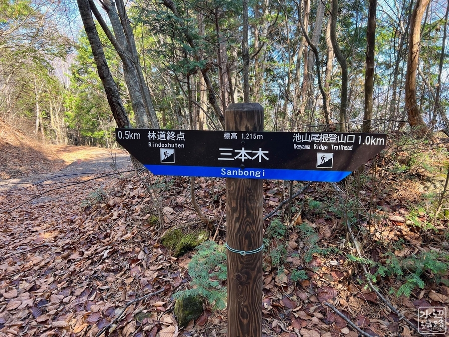
池山林道終点登山口


登山道


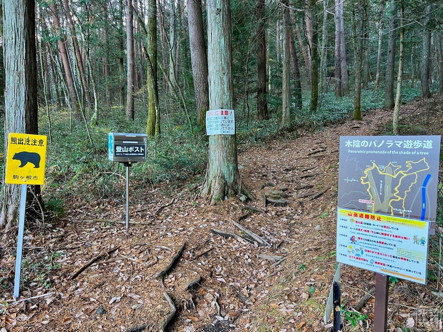
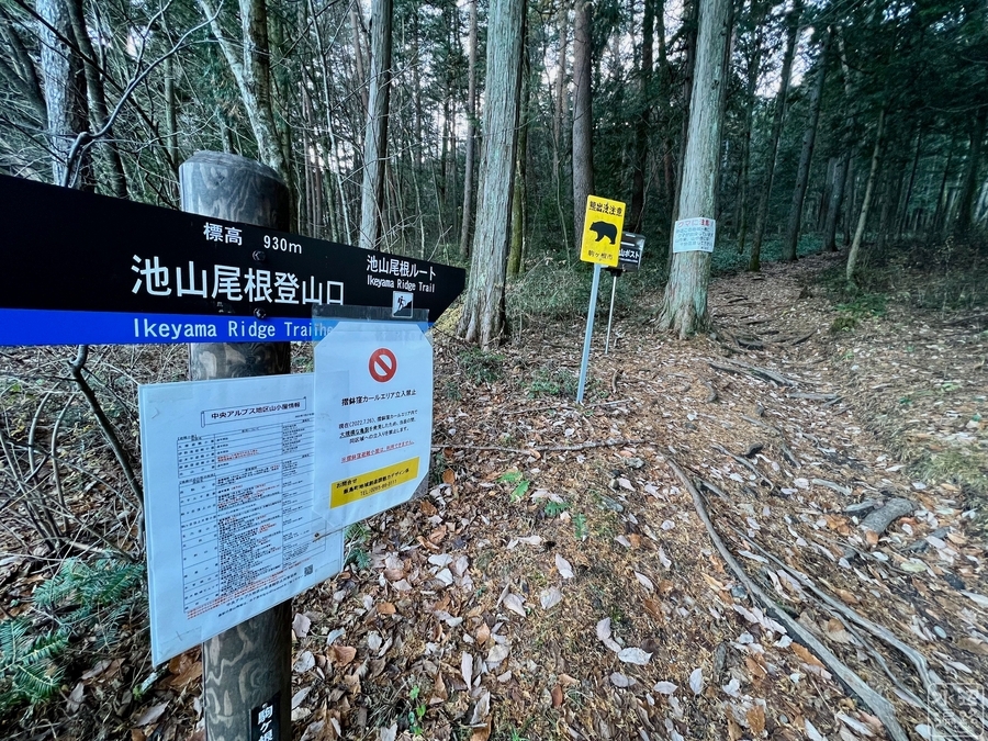
池山尾根登山口
標高930m。木陰のパノラマ遊歩道。
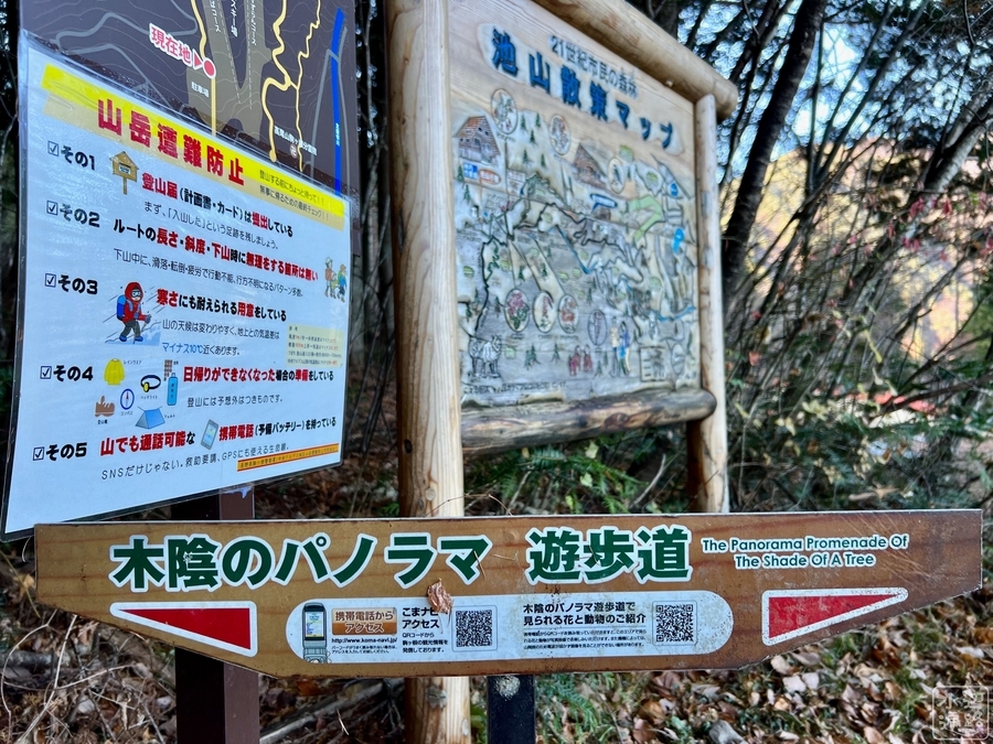

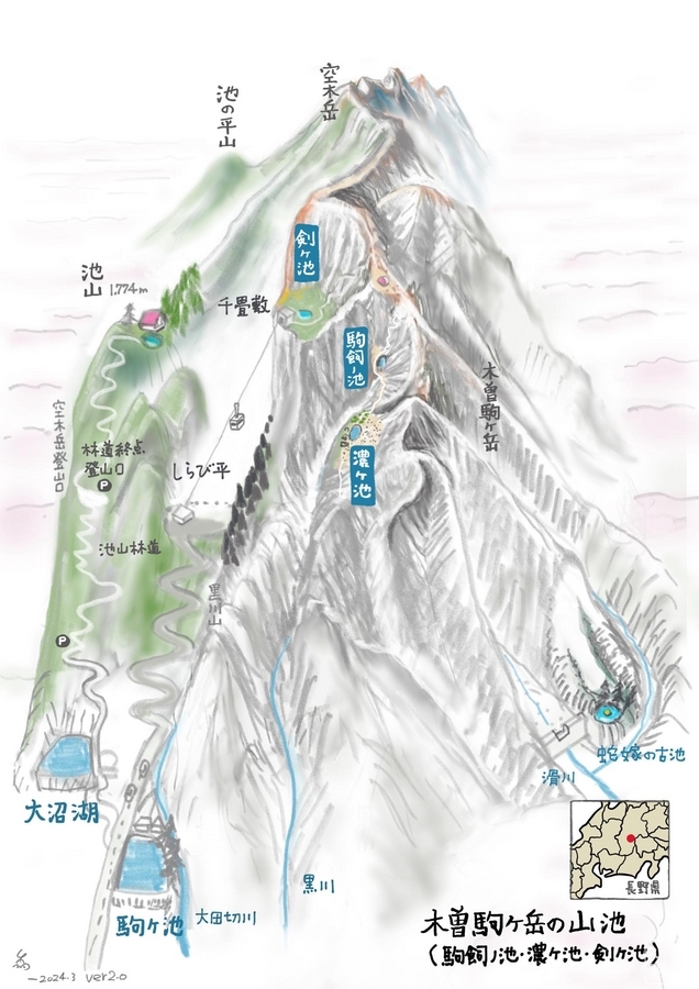
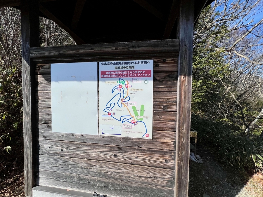
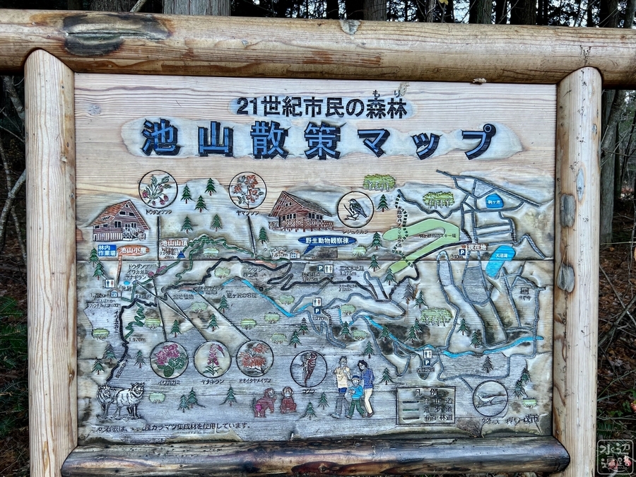
マップ
池さんぽマップ
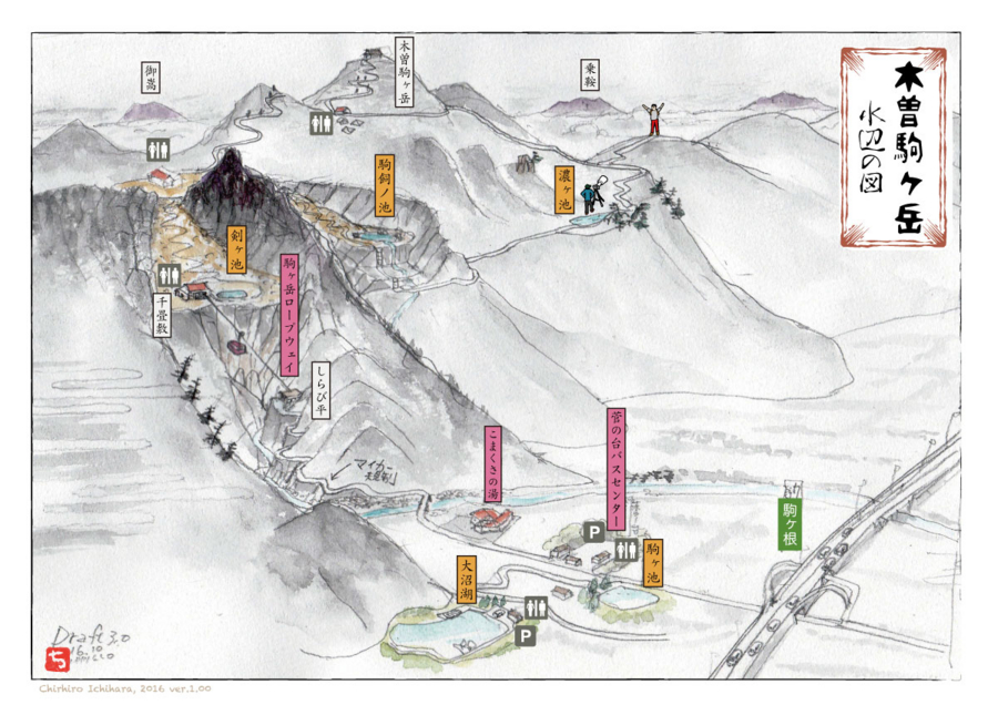
木曽駒ヶ岳の山池
現地案内マップ
Googleマップ
マークした場所は駐車場。