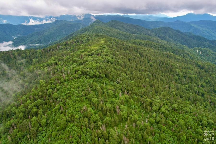
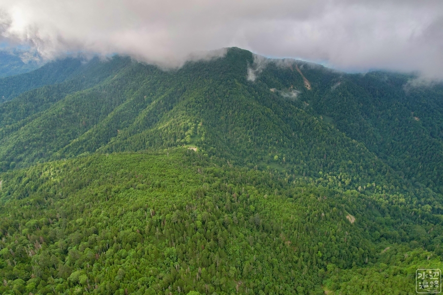
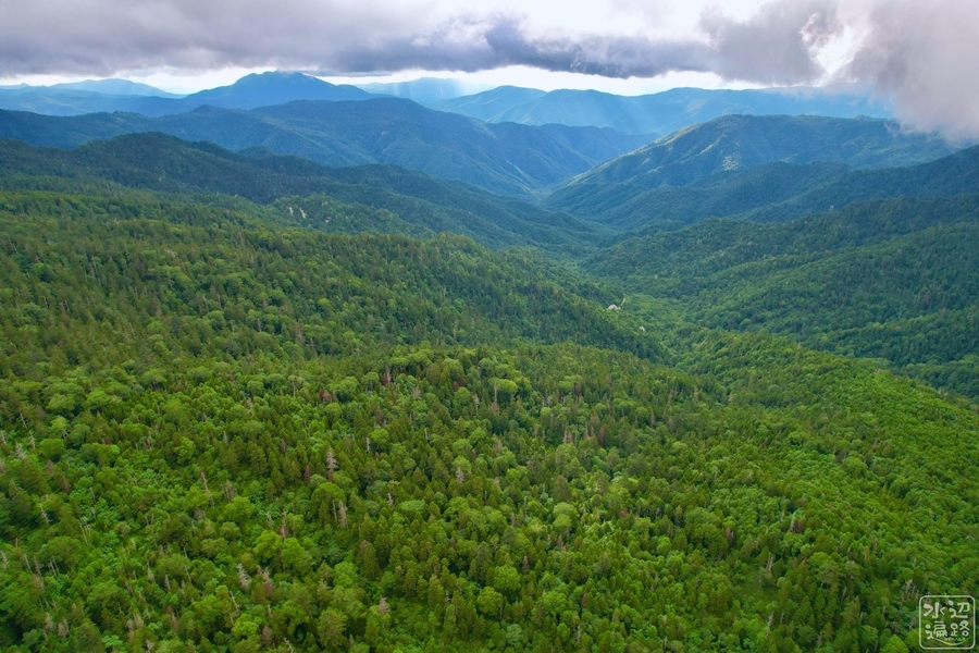
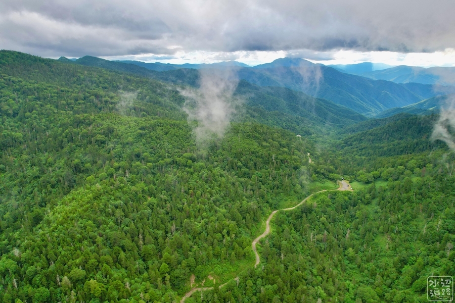
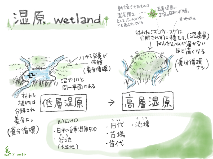
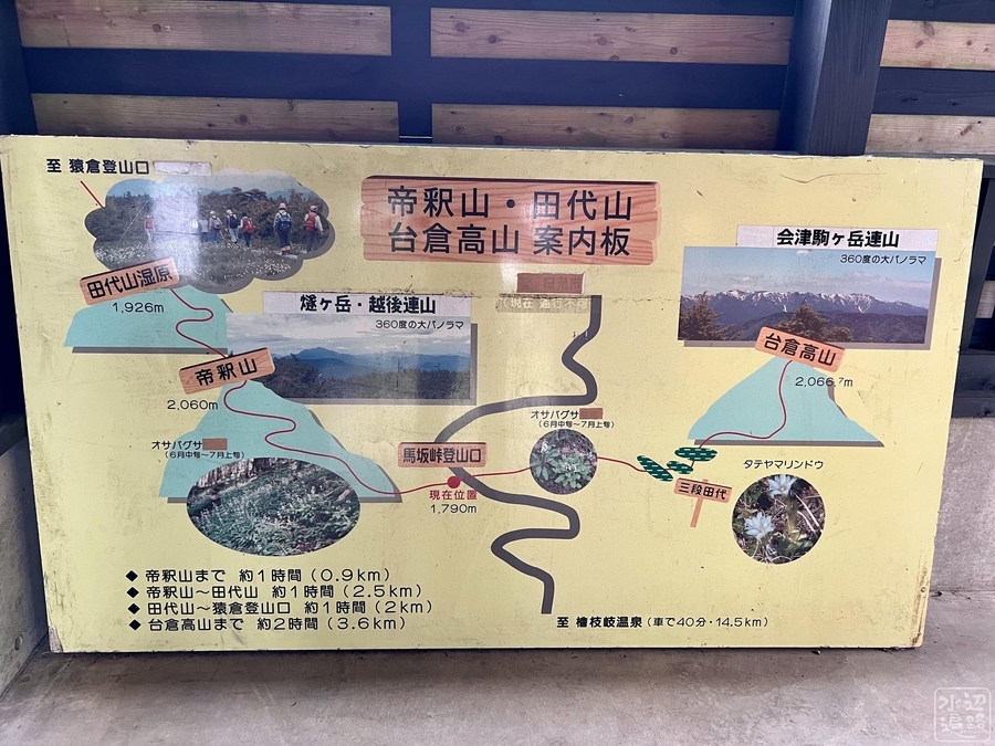
馬坂峠登山口から台倉高山への登山路を進んだ途上にある「田代」の名を持つ湿原。一帯は尾瀬ヶ原を含め日本最大の田代銀座をかたちづくっている。
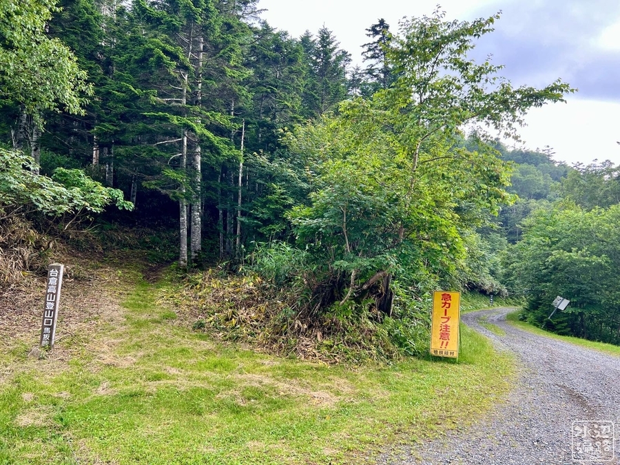
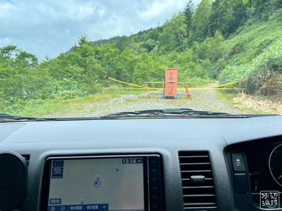
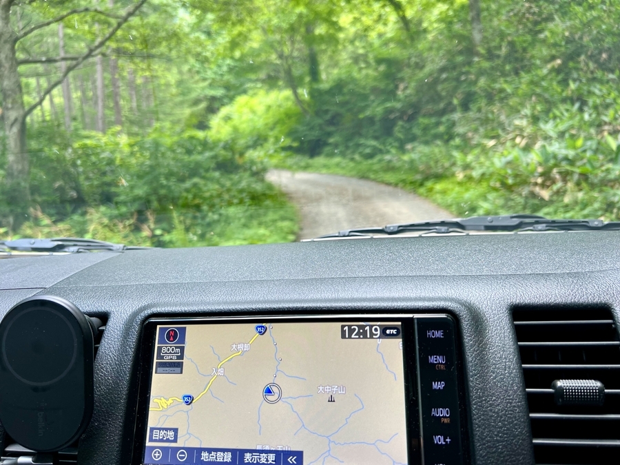
登山口までのアクセス路はダート11km、クルマで35分。群馬県側は通行止めだがオートバイは通っていた。
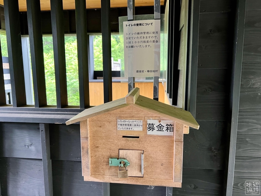
登山口に未舗装駐車場と有料トイレあり。
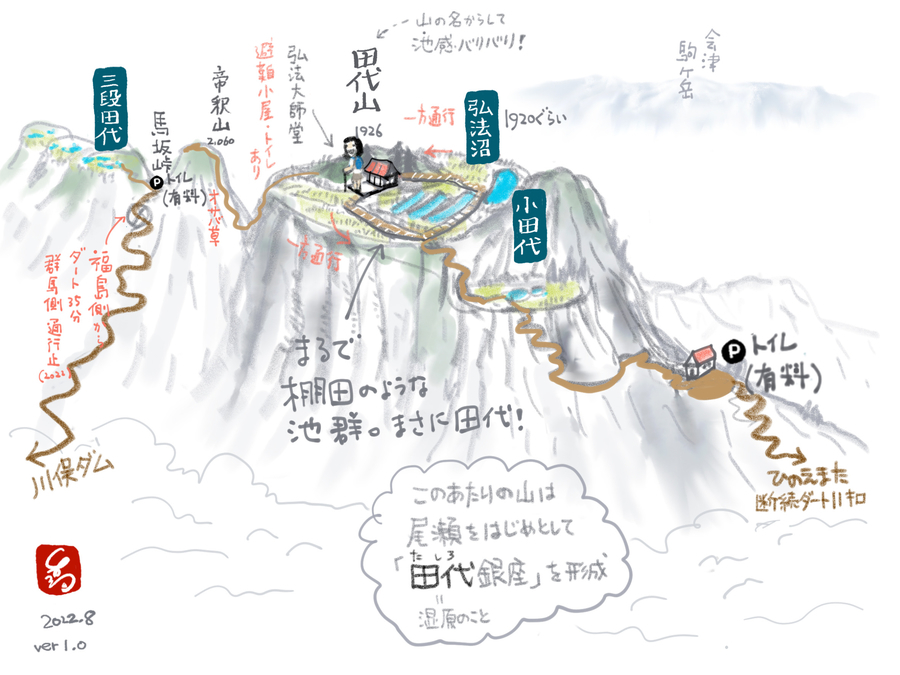
馬坂峠登山口
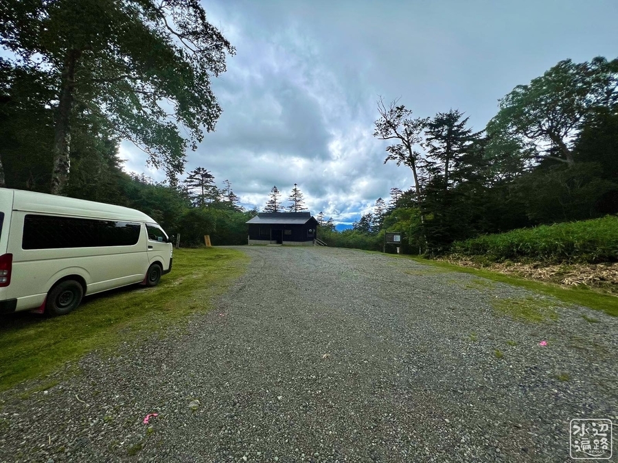
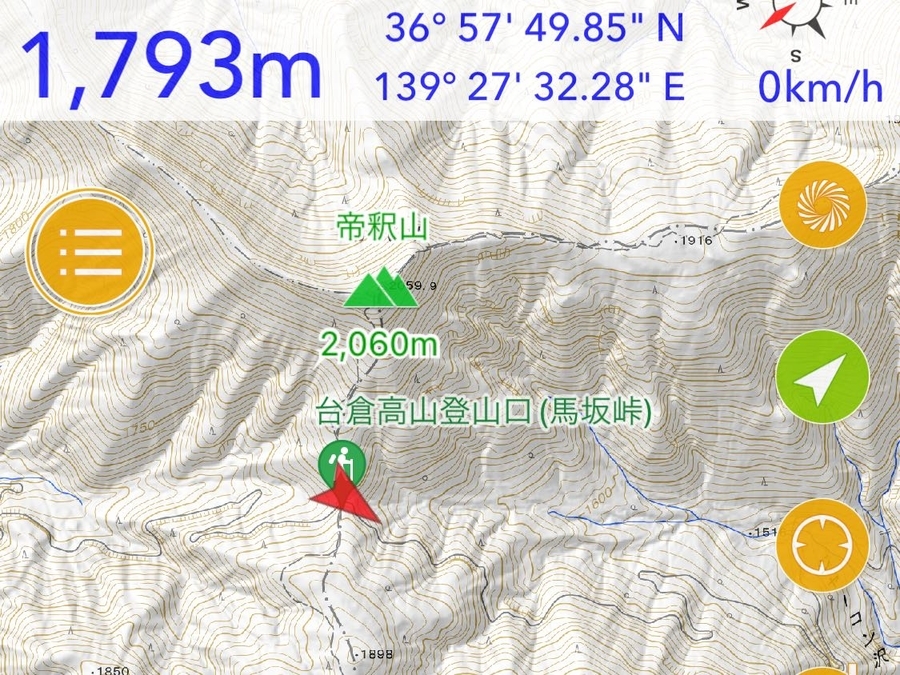
マークした場所は、馬坂峠駐車場。
馬坂峠登山口から台倉高山への登山路を進んだ途上にある「田代」の名を持つ湿原。一帯は尾瀬ヶ原を含め日本最大の田代銀座をかたちづくっている。
登山口までのアクセス路はダート11km、クルマで35分。群馬県側は通行止めだがオートバイは通っていた。
登山口に未舗装駐車場と有料トイレあり。
マークした場所は、馬坂峠駐車場。