
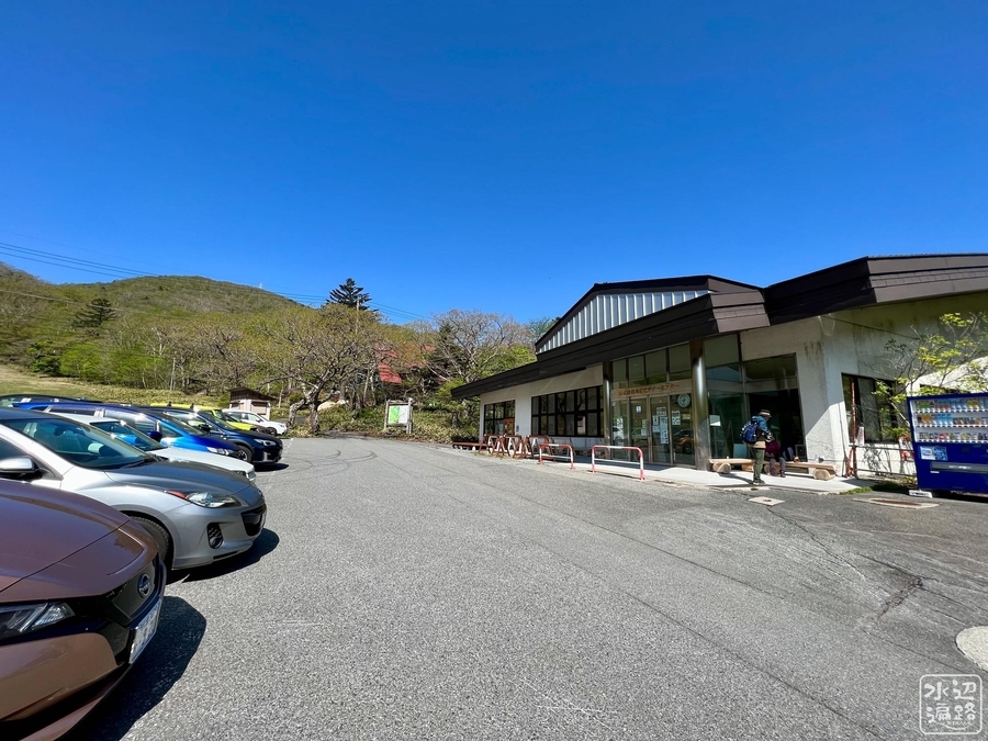
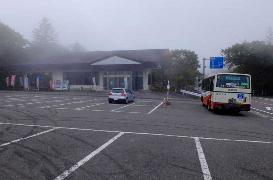
ビジターセンターが近い。赤城山ハイキングの拠点。
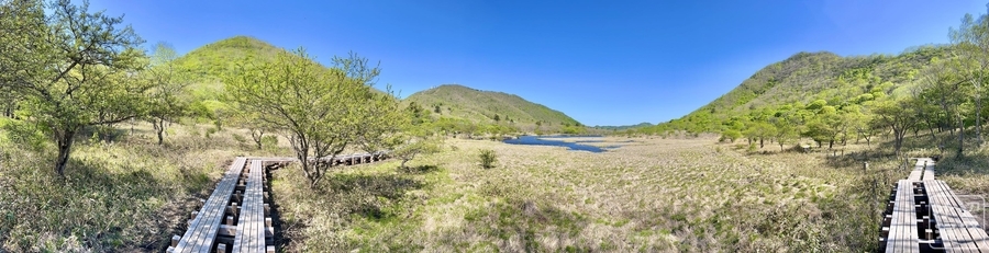
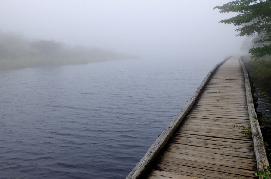
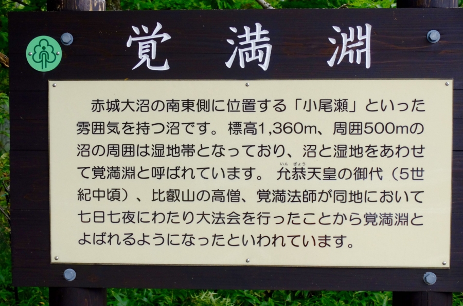
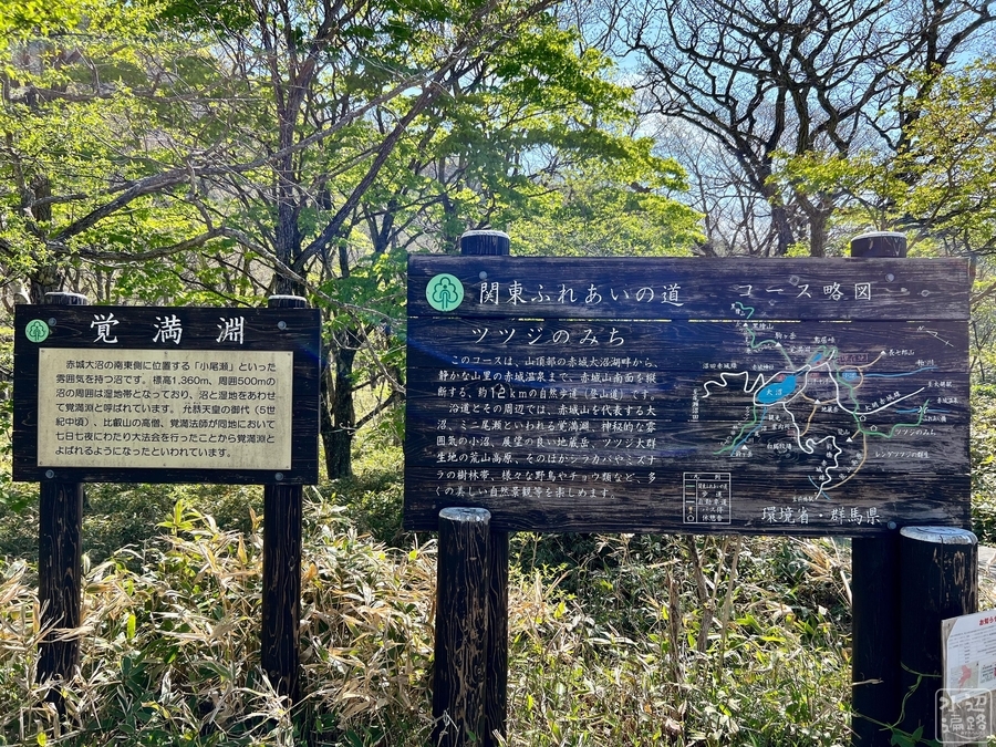
バスターミナルにもなっている赤城ビジターセンターから遊歩道を歩けば、すぐに樹林が途切れ湿原に包まれた湖面標高1360mの覚満淵が見えてくる。
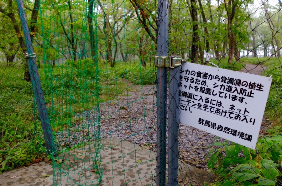
覚満淵から小沼へと至るハイキング路が整備されており、赤城の外輪山を徒渉すれば一日コースで楽しめる。

地形と形態
大沼と通水
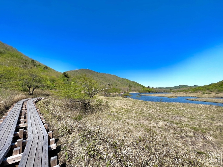
覚満淵から出た水は大沼に流れ込んでいる。左下の写真で奥に見えるのが大沼。


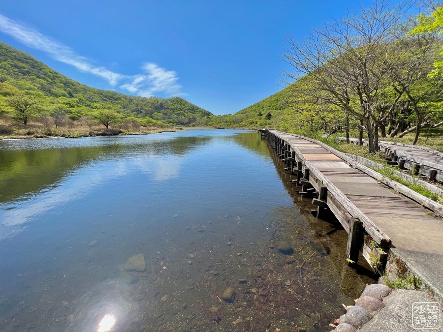
コンクリート化された吐き出し
コンクリート護岸とコンクリート堰堤がある。


全体的に浅い
底質は礫。

流入側は湿原


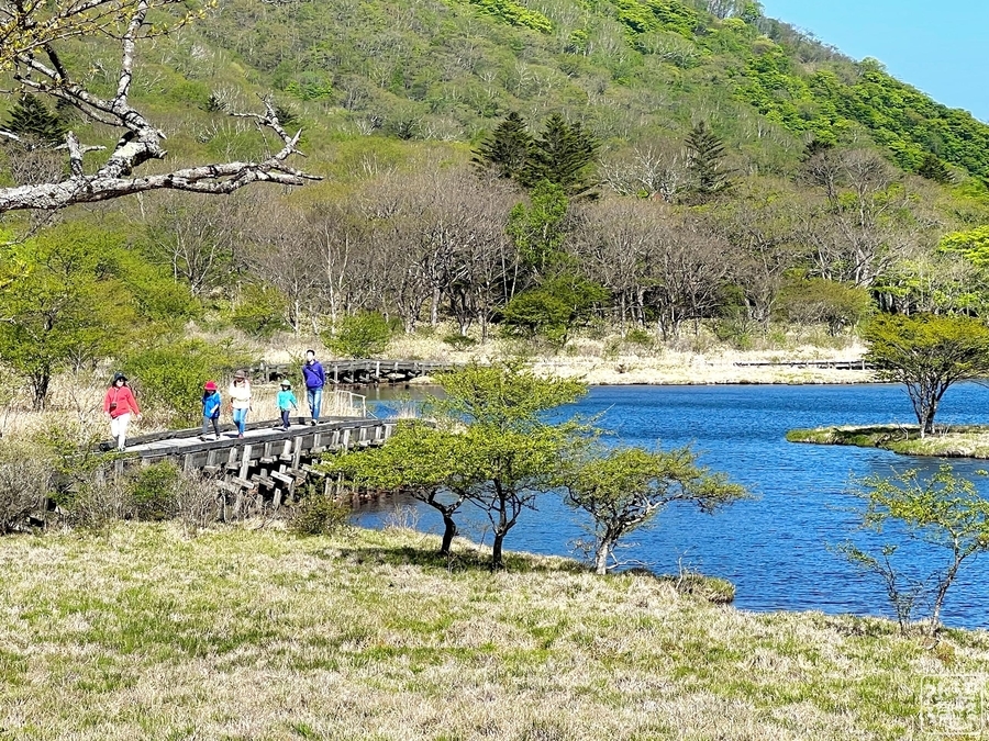
遊歩道と木道


池名の由来
覚満法師の大法会の会場になったことが由来。5世紀の話というから、1500年も昔。
ビジターセンター
バスターミナルも兼ねている。
マップ
赤城山の池さんぽマップ

現地案内板


Googleマップ
マークした場所は赤城ビジターセンター駐車場。